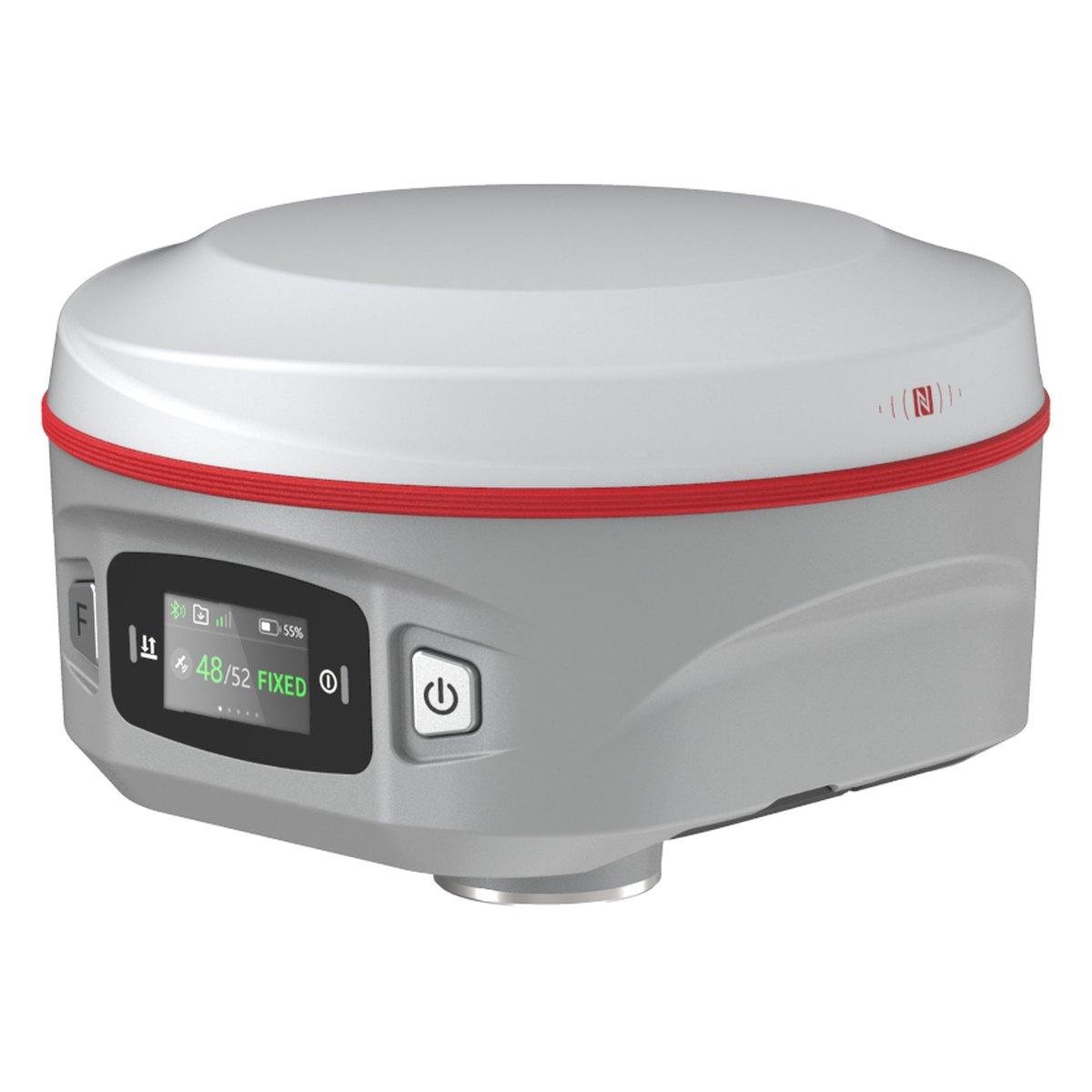
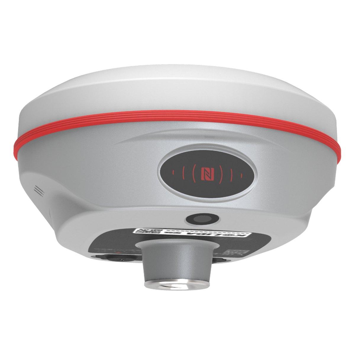
A GPS survey uses survey-grade GNSS receivers to fix the coordinates and height of ground points, typically to 1 to 2 cm with RTK. In Pakistan it is the standard method for plot boundaries, housing schemes, road alignments and control points. A two-person RTK crew costs about PKR 25,000 to 60,000 a day as an indicative 2026 range.
The method has replaced chains, plane tables and much total station work because one person with a rover can record hundreds of points a day without needing to see from one point to the next. This guide covers how the survey is actually done, what each method delivers, how firms here price it and what you should get at the end.
What is GPS in surveying?
In surveying, "GPS" means a GNSS receiver built for measurement, not navigation. It tracks GPS, GLONASS, Galileo and BeiDou on several frequencies and uses corrections to reach centimetre accuracy. Our GNSS vs GPS guide explains the difference between the two terms.
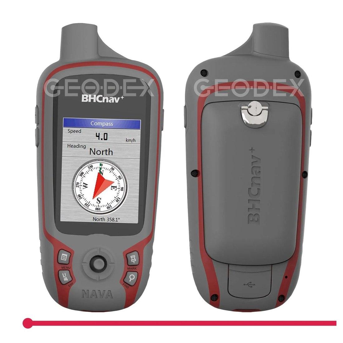
A navigation unit or a phone reads its position to within a few metres. That is fine for finding a site. It is not a survey and should not appear on a drawing.
What are the methods of GPS surveying?
| Method | How it works | Accuracy | Used in Pakistan for |
|---|---|---|---|
| Static | Two or more receivers record together for 30 minutes to several hours, processed in the office | 3 to 5 mm + 0.5 ppm | Control points, project benchmarks, long baselines |
| RTK | Base on a known point sends corrections by radio; rover gets a fix in seconds | 1 to 2 cm plan, 2 to 3 cm height | Boundaries, topography, setting out, housing schemes |
| Network RTK | Rover gets corrections from a CORS network over 4G | 1 to 3 cm where coverage is good | Urban work near the main cities |
| PPK | Rover records raw data, corrected afterwards against a base | 1 to 3 cm | Drone mapping, sites with no radio link |
Most site work is RTK. Large projects start with a static control network, then run RTK and total stations from it. For the details of RTK see what is RTK GPS, and for how a static control survey is run see DGPS survey.
How is a GPS land survey done on site?
A typical boundary or topographic survey in Punjab or KP follows the same order:
- Find or establish control. Locate existing benchmarks or pillars with known coordinates, or set up a static session to create them.
- Set up the base. On a tripod over a known point, high and open, with the antenna height measured carefully.
- Check a known point. Before any detail, the rover measures a second control point. If it agrees within 2 to 3 cm, work continues.
- Collect detail. Boundaries, pillars, buildings, roads, drains, trees, spot levels on a grid, breaks in slope.
- Repeat the check at the end of the day, or at any base move.
- Process. Export to CAD, draw features, generate contours, prepare the coordinate list and report.
The step most often skipped is step 3. It costs five minutes and catches the most expensive error in GPS surveying: a base set on the wrong coordinate, which shifts every point by the same amount without any warning on the controller.
What makes a GPS survey go wrong?
The receivers are reliable. The errors we are asked to sort out after the fact almost always come from the people and the paperwork:
- Wrong base coordinates. The base was set up on a pillar, but the coordinates typed in belonged to a different pillar, or came from an old drawing in another datum. Every point is shifted by the same amount and looks perfect.
- Wrong antenna or pole height. A slant height entered as vertical, or a pole extended to 2.15 m while the controller says 2.00 m. Every level is out.
- Wrong zone. Points recorded in UTM 42N for a site in Rawalpindi, which is in 43N. The numbers look sensible until they are drawn.
- Float points stored. In a hurry under trees, a surveyor stores points before the receiver reaches FIXED. They can be 20 cm to a metre out.
- No independent check. Nobody measured a known point at the start or end, so none of the above was caught on site.
Each of these is prevented by the procedure in the next section and by asking for the method statement in the deliverables. If a firm cannot tell you which control point it checked against, ask before paying.
How much does a GPS survey cost in Pakistan?
Firms price the work three ways, and you should ask which before comparing quotes:
- By the day. A crew of two with an RTK set. Indicative 2026 range: PKR 25,000 to 60,000 a day in Rawalpindi, Islamabad and Lahore, plus travel and accommodation for outstation work in KP, Balochistan or Sindh.
- By the pillar. For NOC and demarcation work, priced per boundary pillar fixed and reported.
- By area or length. Topographic plans priced per acre, roads and canals per kilometre, with drawings included.
These are indicative ranges that vary by firm, terrain and deliverables. For large open schemes a drone survey can be cheaper per acre; see drone survey cost in Pakistan.
What should you receive after a GPS survey?
Write these into the order before the crew arrives:
- Coordinate list with the datum, projection and zone stated. In Pakistan this is usually WGS 84 on UTM zone 42N or 43N. Our UTM coordinates guide explains which zone covers which city.
- CAD drawing with features, labels and a north arrow.
- Contours and levels for topographic work, with the interval stated.
- Control point sheet with descriptions, photos and how to find each point again.
- Method statement: equipment, method, accuracy achieved, checks made.
If a firm hands over a list of numbers with no datum or zone, you cannot use it with anyone else's data. Insist on it.
GPS surveying in civil engineering: where it fits
On construction projects GNSS does the work over distance and the total station does the work close up:
- Roads and highways: alignment, cross-sections, earthwork volumes
- Housing societies: plot boundaries, roads, sewer lines
- Canals and pipelines: long strips where traverses would build up error
- Dams and barrages: static control networks, then monitoring
- Mines and quarries: stockpile volumes and pit surveys
For structural setting out, a total station is still more accurate. See total station vs GPS.
Should you hire a survey or buy your own GNSS?
Add last year's survey invoices. A complete RTK base and rover set costs about PKR 1,200,000 to 2,500,000 (2026 market range; confirm today's price on WhatsApp). A contractor or consultant who needs control every week usually recovers that within one to two years, and stops waiting for a survey firm's diary.
If you survey once or twice a year, hire. Buying an instrument that sits in a cupboard is the most expensive way to get coordinates.
What we supply
We supply survey GNSS from Rawalpindi, and we also run surveys:
- Kolida K6 rover and Kolida K30 Pro base
- E-Survey E300 Pro and E800
- Survey and mapping drone for large areas
- The whole range under GPS and GNSS systems
Our own survey services are described in land survey services in Pakistan. Prices for equipment are in RTK GPS and GNSS receiver price in Pakistan.
Ask for today's price
Send us the location, the approximate area or length, and what the drawing is for. We will quote the survey, or the equipment if you would rather do it yourself. Send us a WhatsApp for today's price.
What we supply
Equipment covered in this guide
KolidaK6Kolida K6 GNSS RTK Receiver
1598 channels in an 800 gram housing, with a calibration free IMU that lets you tilt the pole up to sixty degrees and still hit two centimetres.
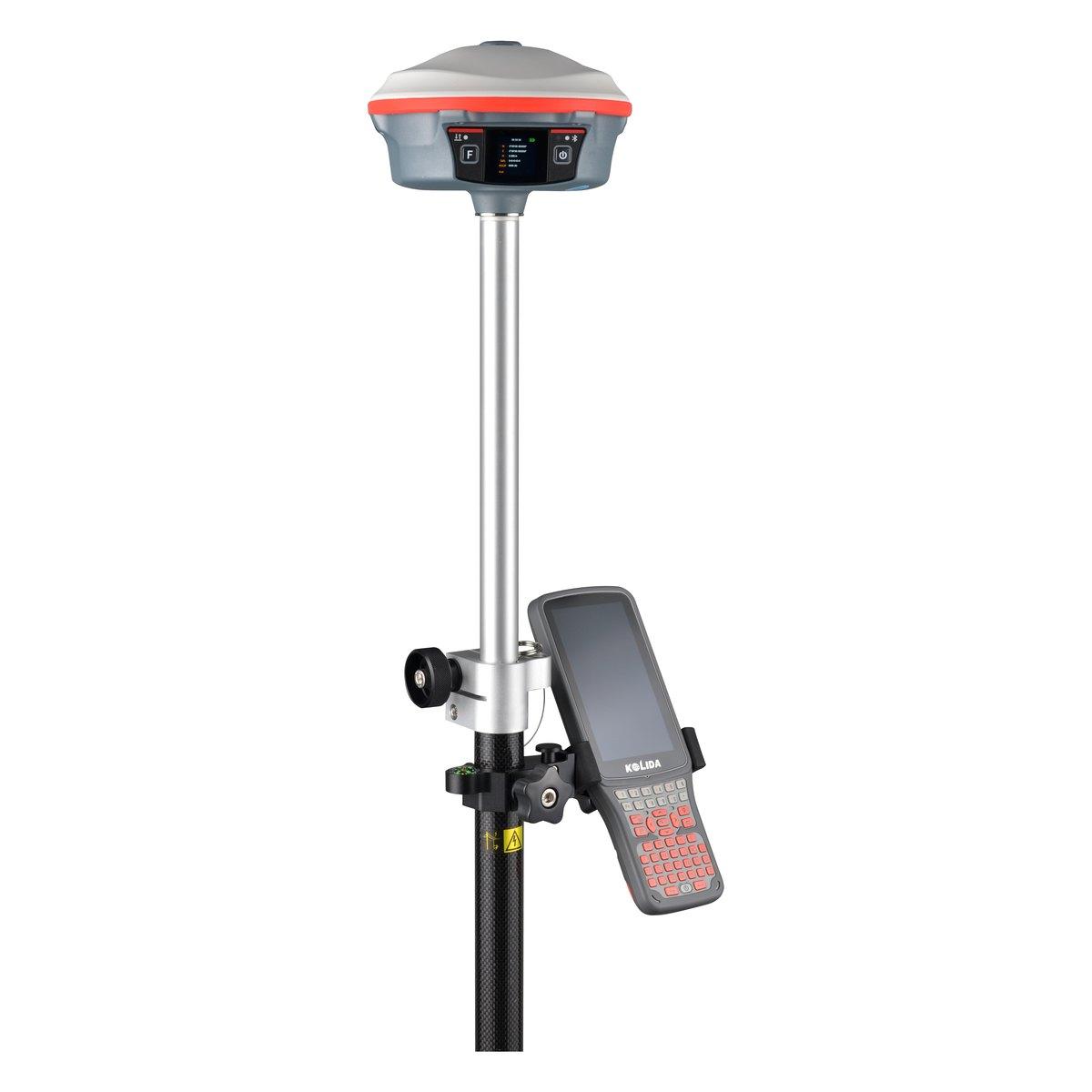 KolidaK30 Pro
Kolida K30 Pro GNSS RTK Receiver
A three watt radio that reaches ten to fifteen kilometres, and Star-Link correction for the sites where there is no base and no network.
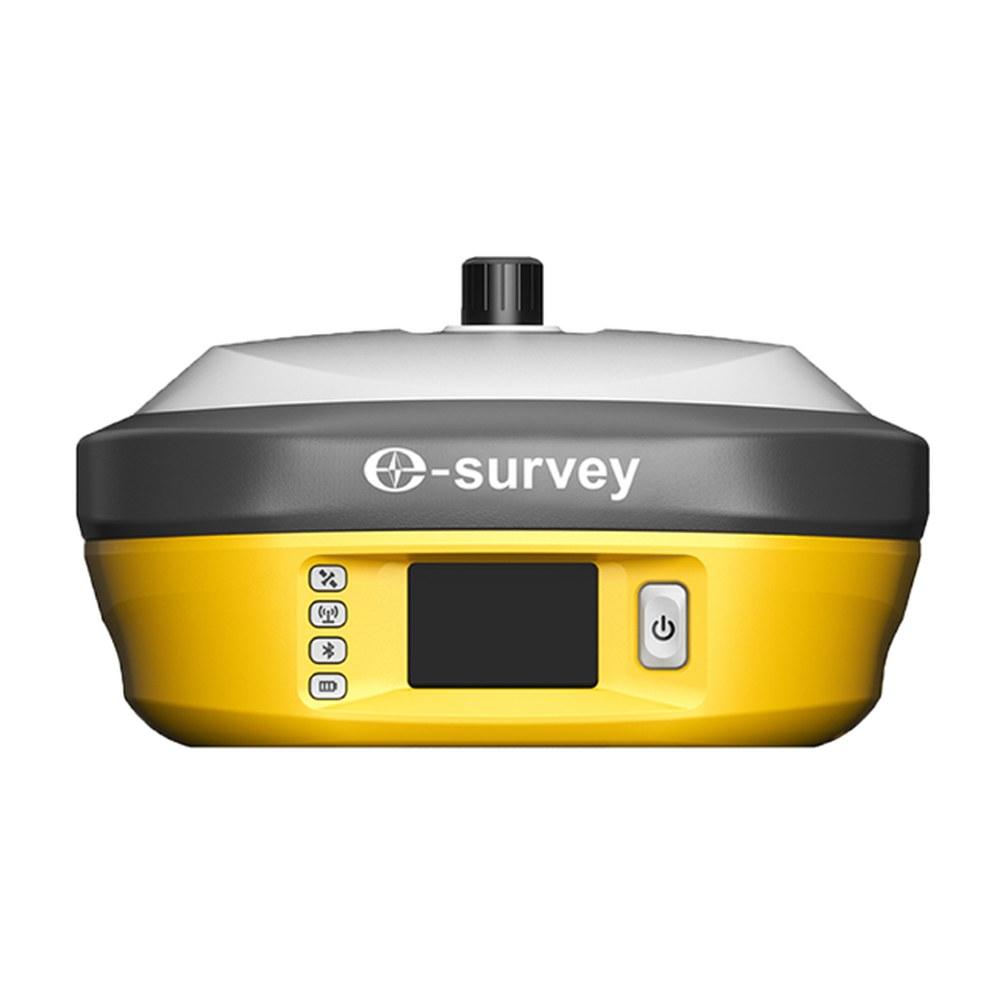 E-SurveyE800
E-Survey E800 GNSS RTK Receiver
A 5 W internal radio good for 8 to 10 km without an external set, a 13600 mAh battery that runs up to 40 hours, and a colour touchscreen.
FAQ
Questions buyers ask us
What is a GPS survey?
A GPS survey uses survey-grade GNSS receivers to fix the position and height of points on the ground from satellite signals. With RTK corrections each point is accurate to about 1 to 2 cm. It is used for boundaries, topographic plans, control points, roads and housing schemes.
How accurate is a GPS land survey?
It depends on the method. RTK gives about 1 to 2 cm in plan and 2 to 3 cm in height. Static GPS with post-processing gives 3 to 5 mm for control points. A handheld GPS or phone is only good to 3 to 10 m and is not a survey.
How much does a GPS survey cost in Pakistan?
Survey firms price by the day, by the pillar or by area. As an indicative 2026 range, a two-person RTK crew costs about PKR 25,000 to 60,000 a day in the twin cities, plus travel for outstation sites. Big topographic jobs are priced per acre with deliverables. Get written quotes.
What are the methods of GPS surveying?
The four in common use are static (long observations, post-processed, for control), RTK (real-time centimetre fixes from a base), network RTK (corrections from a CORS service over 4G) and PPK (recorded in the field, corrected later, common on drones). Most site work in Pakistan is RTK.
What should I receive after a GPS survey?
At minimum: a coordinate list stating the datum, projection and zone (usually WGS 84, UTM 42N or 43N), a CAD drawing of the points and features, the control point descriptions with photos, and a short method statement. For topography add contours and levels.
Is it cheaper to hire a GPS survey or buy a GNSS?
If you need a survey once or twice a year, hire. A base and rover set costs PKR 1,200,000 to 2,500,000, so a firm surveying every week usually recovers it within one to two years. Add your last year's survey invoices and compare.