GNSS vs GPS comes down to scope: GPS is the American satellite system of about 31 satellites, while GNSS is the umbrella for all of them, including GLONASS, Galileo and BeiDou, which together put well over 100 satellites in the sky. A survey receiver tracking every system fixes faster and holds centimetre accuracy where GPS-only units drop out.
In Pakistan the two words are used as if they mean the same thing. A contractor asks for "a GPS", a consultant's specification says "DGPS", and the instrument on the counter is labelled "GNSS RTK receiver". They overlap, but the differences decide whether your instrument works next to a five storey plaza in Saddar or only in an open field. This guide sorts the terms out and shows what each one costs here.
What is the difference between GNSS and GPS?
GPS, the Global Positioning System, is one network of satellites operated by the United States. It was first, which is why "GPS" became the everyday word for any satellite positioning.
GNSS, Global Navigation Satellite System, is the general term. It covers every system that does the same job:
- GPS, United States, about 31 working satellites
- GLONASS, Russia, 24 satellites
- Galileo, European Union, around 28 in orbit
- BeiDou, China, more than 40, with particularly strong coverage over Asia
- Regional systems such as QZSS (Japan) and NavIC (India), which some receivers also track
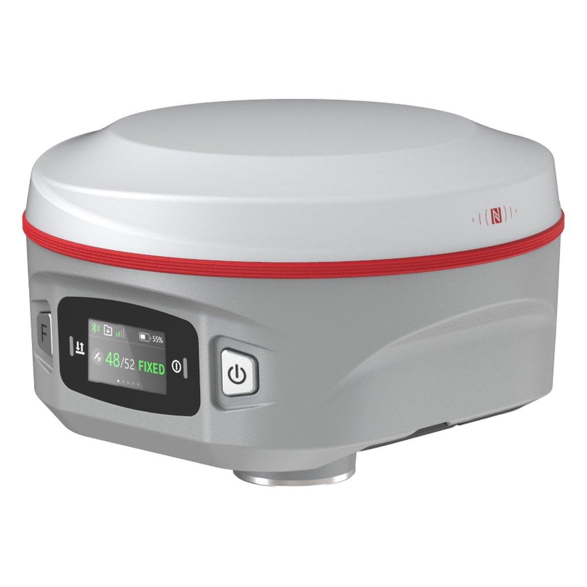
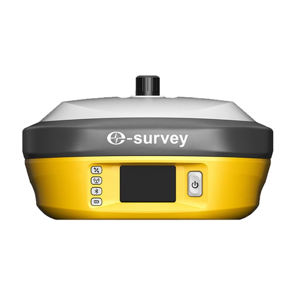
So every GPS receiver is a GNSS receiver of the narrowest kind, but a GNSS receiver is not limited to GPS. When we sell a Kolida K9s or an E-Survey E300 Pro, it tracks all four main systems on several frequencies at once.
Is GNSS better than GPS?
For surveying, yes, and the reason is geometry rather than any single satellite being better. A position needs at least four satellites, and the more you have spread around the sky, the stronger the solution.
A GPS-only receiver in Rawalpindi sees roughly 8 to 12 GPS satellites at any moment. A four-constellation receiver sees 30 to 45. Block half the sky with a building, a tree line or a hillside, and the GPS-only unit may be left with four weak satellites in a line, which gives a poor or no fix. The GNSS receiver still has 15 or more.
In practice this shows up as:
- Faster fixes. An RTK rover usually reaches a fixed solution in seconds instead of a minute or more.
- Working where it matters. Narrow streets in older parts of Lahore and Rawalpindi, orchards, cuttings on the Murree and Kaghan roads.
- Fewer bad fixes. More satellites mean the receiver can reject a reflected signal off a glass façade instead of trusting it.
What are the limitations of GPS?
The limits of satellite positioning are the same whichever constellation you use, and they are worth knowing before you rely on it:
- It needs sky. Signals are weak radio waves from 20,000 km away. They do not pass through roofs, dense canopy or a hillside. Indoors, in basements and in tunnels it does not work at all.
- Reflections mislead. Next to glass, metal sheds or water tanks a signal can bounce before it arrives. The receiver measures a longer path and puts you in the wrong place, sometimes while reporting a good fix.
- Height is weaker than plan. All the satellites are above you, so vertical geometry is always poorer. Expect height error of roughly twice the plan error.
- The atmosphere adds error. The ionosphere delays signals most in the early afternoon, and more in years of high solar activity. Dual-frequency receivers remove most of it; single-frequency units cannot.
- Interference. Strong radio transmitters, and deliberate jamming near sensitive areas, can stop a receiver tracking. If a receiver that works everywhere else loses lock at one site, suspect interference before the instrument.
Multi-constellation tracking reduces the first two problems. Corrections from a base, covered in what is RTK GPS, deal with the rest.
BeiDou deserves a special mention for Pakistan. Its geostationary and inclined satellites sit over Asia, so it adds more usable satellites here than it does in Europe or America. That is one reason Chinese-built receivers perform so well locally.
GNSS vs GPS accuracy: what figures should you expect?
Accuracy depends far more on the method than on the constellation. The same multi-constellation receiver gives very different results depending on how it is used:
| Method | What it needs | Typical accuracy | Indicative equipment price (PKR) |
|---|---|---|---|
| Phone or handheld, standalone | One device | 3 to 10 m | Under 150,000 |
| Code DGPS / SBAS | Corrections from a reference | 0.3 to 1 m | Rarely sold on its own |
| RTK, base and rover | Two survey receivers and a radio link | 8 mm + 1 ppm horizontal, 15 mm + 1 ppm vertical | 1,200,000 to 2,500,000 for a set |
| Network RTK (CORS) | One rover plus a mobile data subscription | 1 to 3 cm where coverage is good | 600,000 to 1,100,000 for a rover |
| Static, post-processed | Two or more receivers, long sessions, software | 3 to 5 mm + 0.5 ppm | Same as a base and rover set |
Prices are 2026 market ranges in Pakistan and move with the exchange rate. Confirm today's price on WhatsApp.
The point to take away: "GPS accuracy" in a newspaper means metres. "GNSS RTK accuracy" on a survey receiver means a centimetre or two. Same satellites, completely different instrument.
Which GNSS is most accurate?
No single system wins on its own, and modern receivers do not make you choose. Galileo's newer signals are very clean; GPS has the longest track record; BeiDou has the most satellites over Pakistan; GLONASS fills gaps at high angles.
What does matter is how many frequencies the receiver tracks. A receiver using L1, L2 and L5 (and the BeiDou and Galileo equivalents) can remove most of the error the ionosphere adds. That is the difference between a single-frequency mapping unit and a full survey rover, and it is the specification to read before brand names.
Where does DGPS fit in?
DGPS, differential GPS, is a method rather than a satellite system. A receiver on a known point works out the error in the satellite signals and sends a correction to the roving receiver.
There are two levels, and Pakistani documents mix them up:
- Code DGPS corrects to roughly a metre. Used for GIS and asset mapping.
- Carrier-phase DGPS, in practice RTK, corrects to 1 to 2 cm. This is what a consultant almost always wants when a tender for a housing scheme, road or NOC boundary says "DGPS survey".
We explain how to read that requirement in our DGPS price guide, and how RTK works in what is RTK GPS.
What does this mean when you buy?
The check we make at the counter, and the one most people skip, is to ask what the instrument tracks and on how many frequencies, then test it where the customer actually works. A receiver that fixes instantly on our roof in Rawalpindi is not proof it will fix under the shisham trees on a canal bank in Sahiwal.
A practical rule we give customers: if a spec sheet says "GPS" only, or lists L1 alone, it is a mapping or navigation device, not a survey instrument. For boundaries, levels, setting out or control you want a receiver listing GPS, GLONASS, Galileo and BeiDou on at least two frequencies each, with RTK.
Also check:
- Heat. Summer roofs in Multan and Jacobabad pass 50 °C. Ask for the operating range and an IP67 body for dust.
- Corrections. Will you use your own base, or a CORS network? Coverage in Pakistan is patchy outside the main cities, so most buyers take a base and rover set. See base and rover GNSS setup.
- Controller and software. The field app should export the coordinate systems your consultant works in, usually UTM on WGS 84. Our UTM coordinates guide covers the zones.
What we supply
We stock survey-grade GNSS receivers from Kolida, E-Survey and Sokkia, plus handheld GPS units for navigation:
- Kolida K9s and Kolida K6: multi-constellation rovers with IMU tilt
- E-Survey E300 Pro: compact rover for network RTK or a base set
- Sokkia GRX1: Japanese receiver for consultancies and long-life fleets
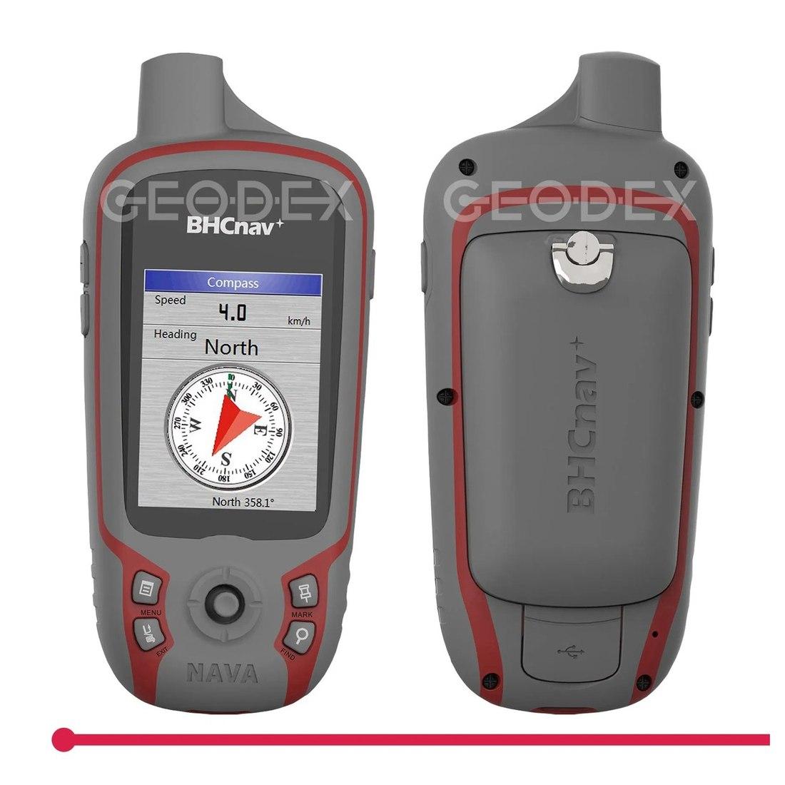
- Handheld GPS receiver: metre-level navigation and reconnaissance
- The full range is under GPS and GNSS systems
For prices by model, read RTK GPS and GNSS receiver price in Pakistan and Kolida GNSS receiver price.
Ask for today's price
Tell us what you are measuring, where, and the accuracy your consultant or client has written into the job. We will tell you whether you need a handheld, a single rover or a base and rover set. Send us a WhatsApp for today's price.
What we supply
Equipment covered in this guide
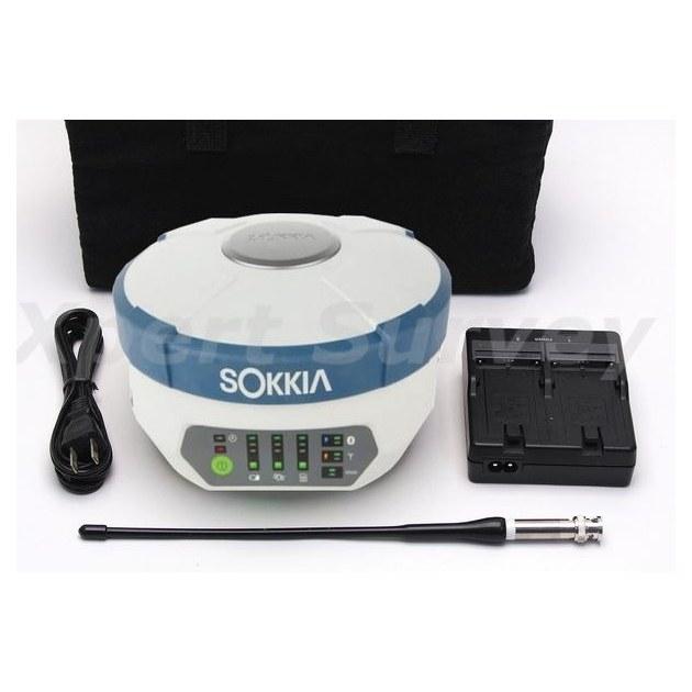 SokkiaGRX1
Sokkia GRX1 GNSS Receiver
Base and rover RTK in a single housing. Topographic pickup and stakeout across a large site without dragging a total station around it.
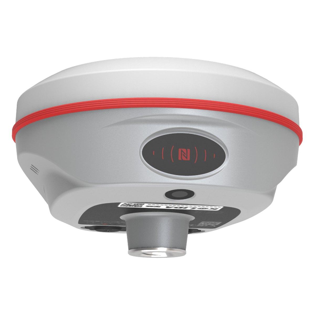 KolidaK6
Kolida K6 GNSS RTK Receiver
1598 channels in an 800 gram housing, with a calibration free IMU that lets you tilt the pole up to sixty degrees and still hit two centimetres.
KolidaK9sKolida K9s GNSS RTK Receiver
1698 channels, 790 grams and twenty five hours in rover mode. The long day receiver.
FAQ
Questions buyers ask us
What is the difference between GNSS and GPS?
GPS is one satellite system, run by the United States with about 31 working satellites. GNSS is the family name for all of them: GPS, Russia's GLONASS, Europe's Galileo and China's BeiDou. A GNSS receiver tracks all four, so it sees well over 100 satellites instead of about 31.
Is GNSS more accurate than GPS?
The satellites are not more accurate individually. A GNSS receiver sees three to four times as many of them, so it fixes faster, holds the fix next to buildings and trees, and keeps working when some sky is blocked. In RTK mode both reach about 1 to 2 cm, but GNSS gets there far more often.
Which GNSS is most accurate?
Galileo has the cleanest signals and BeiDou has the most satellites over Pakistan, but no surveyor picks one. A modern RTK receiver uses all four constellations together on several frequencies. The combination, not any single system, is what gives centimetre fixes in Rawalpindi lanes and hilly Murree roads.
What is the difference between GPS and DGPS?
Plain GPS on one receiver is accurate to about 3 to 10 metres. DGPS adds a second receiver on a known point that sends corrections, bringing code-based DGPS to under a metre. When Pakistani tenders say DGPS they usually mean RTK with corrections, which reaches 1 to 2 cm.
Does my phone use GPS or GNSS?
Almost every phone sold in Pakistan since about 2018 is a GNSS receiver: it uses GPS, GLONASS, Galileo and BeiDou together. It is still accurate only to a few metres, because it lacks the antenna, frequencies and corrections a survey receiver uses. Fine for directions, not for a boundary.
How much does a GNSS receiver cost in Pakistan?
A handheld GPS for navigation costs under PKR 150,000. A survey-grade GNSS rover runs about PKR 600,000 to 1,100,000, and a complete RTK base and rover set PKR 1,200,000 to 2,500,000 for Chinese brands, more for Sokkia. These are 2026 market ranges; confirm today's price on WhatsApp.