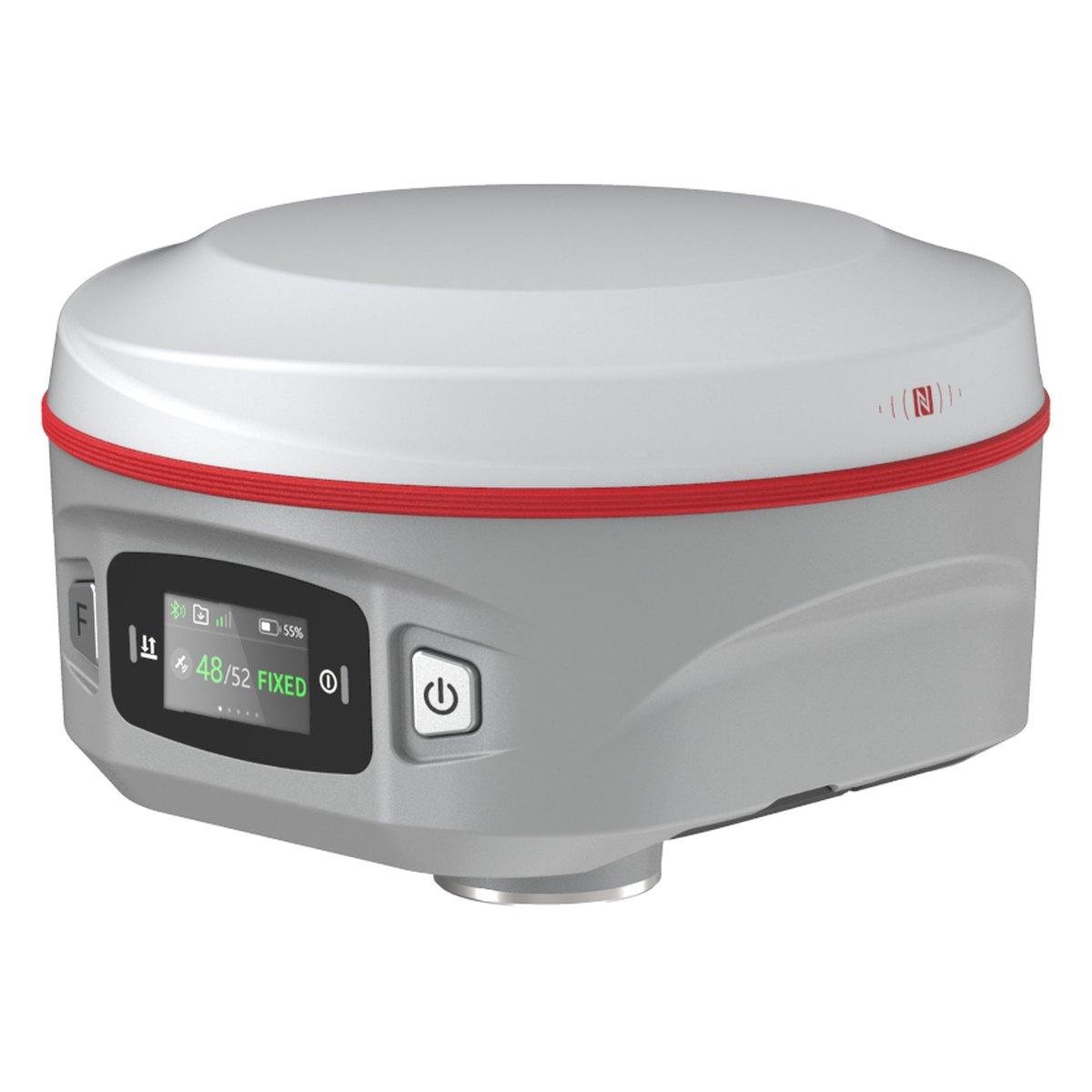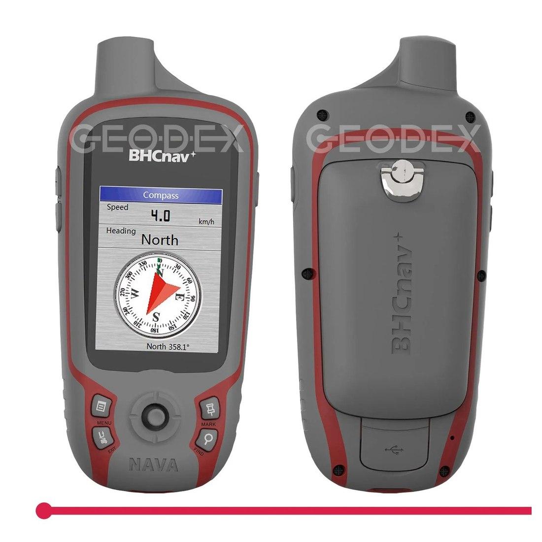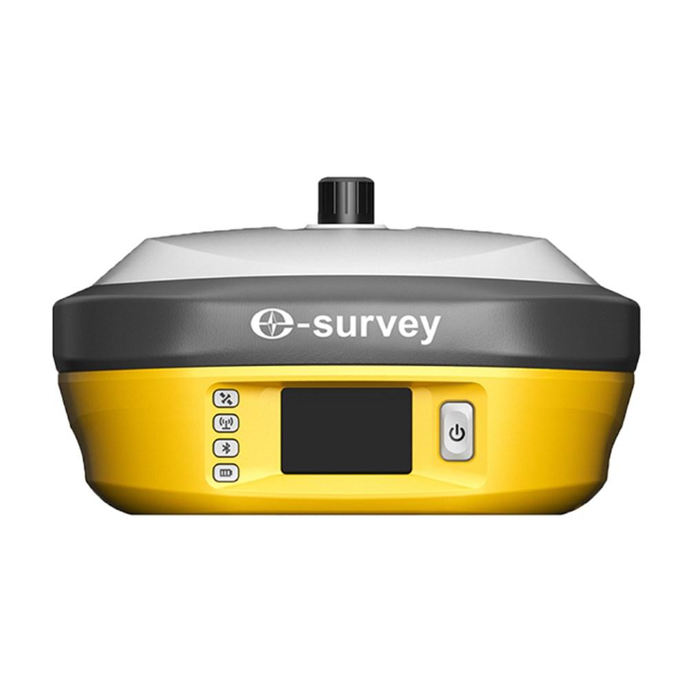
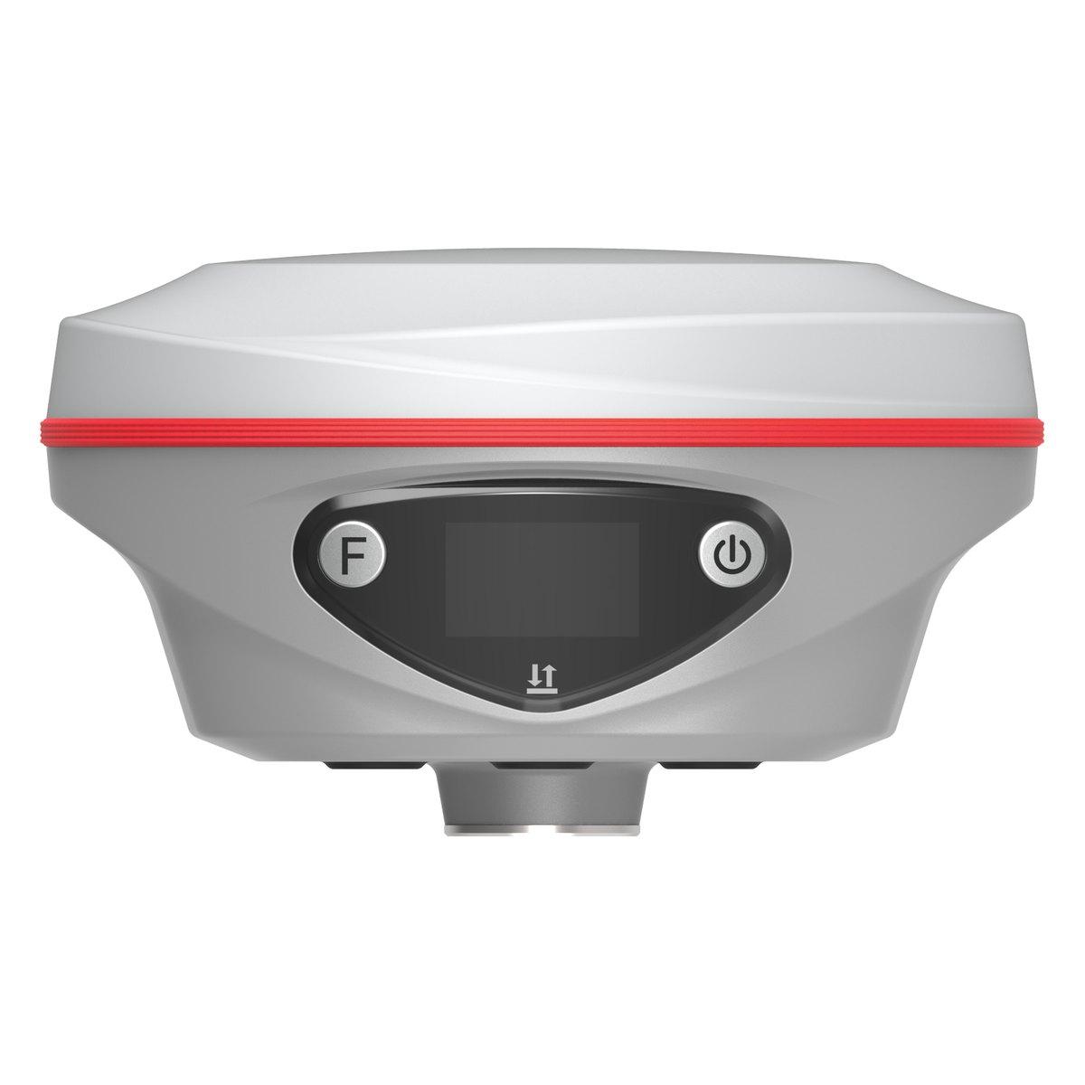
RTK GPS (real-time kinematic) is a GNSS method that brings satellite positioning from 3 to 10 metres down to about 1 to 2 cm, live in the field. A base receiver on a known point sends corrections to a moving rover every second. In Pakistan a complete base and rover set costs about PKR 1,200,000 to 2,500,000.
That combination of centimetre accuracy and no line of sight is why RTK has replaced the total station for most boundary, topographic and road work across Punjab and KP. This guide explains how it works in plain terms, where it fails, what you need to buy, and what the parts cost here.
How does RTK GPS work?
Every satellite receiver measures its distance to several satellites at once. A phone or handheld does it using the code in the signal, which is accurate only to metres, and the errors from the atmosphere and satellite clocks are left in.
RTK does two things differently:
- It measures the carrier wave. The radio wave itself is about 19 to 25 cm long. Counting it, rather than reading the code, gives millimetre-level measurements once the receiver has worked out the whole number of wavelengths. Getting that count right is called "fixing the ambiguity", and it is what the receiver means when it says FIXED.
- It cancels the shared errors. The base sits on a point whose coordinates are known. It compares what the satellites tell it with where it really is, and sends the difference to the rover. Because the rover is close by, it suffers almost the same atmospheric errors, so the correction removes them.
The result is a rover that shows a centimetre-level coordinate on its controller as you walk the site.
How accurate is RTK GPS?
On a modern survey receiver the specification is typically:
| Mode | Horizontal | Vertical | Use it for |
|---|---|---|---|
| RTK fixed | 8 mm + 1 ppm | 15 mm + 1 ppm | Boundaries, topography, setting out |
| RTK float | 20 cm to 1 m | 30 cm to 1.5 m | Nothing you will sign; wait for the fix |
| Network RTK (CORS) | 1 to 3 cm | 2 to 5 cm | Same as RTK, where coverage is reliable |
| Static, post-processed | 2.5 to 5 mm + 0.5 ppm | 5 to 10 mm + 0.5 ppm | Control points, long baselines |
| Standalone (no corrections) | 1.5 to 5 m | 3 to 8 m | Finding the site |
The "+ 1 ppm" means one extra millimetre for every kilometre between base and rover. At 5 km you add 5 mm. That is why serious control work keeps baselines short.
Vertical accuracy is always weaker than horizontal. For drainage and road levels on flat ground, many contractors still check critical levels with an auto level after setting out with RTK.
Is RTK better than GPS?
RTK is GPS (and GLONASS, Galileo and BeiDou) used in a more demanding way. Same satellites, different receiver and method. The comparison that matters on site:
- Plain GPS: finds the plot. Error of several metres. Fine for reconnaissance and navigation.
- RTK: marks the plot corner. Error of one or two centimetres. Needed for anything a consultant, a revenue officer or a court will look at.
Our GNSS vs GPS guide explains why multi-constellation receivers fix far more reliably in towns.
Do you need a subscription for RTK?
Only if you choose network RTK. There are two ways to get corrections:
Your own base and rover. The base sits on a tripod over a known point and broadcasts over UHF radio. No monthly fee, no mobile signal needed. Range with a built-in radio is typically 3 to 5 km; a high-power radio such as the 3 W unit in the Kolida K30 Pro or the 5 W radio in the E-Survey E800 stretches it.
Network RTK through CORS. A permanent reference network computes corrections and sends them to your rover over the internet. You buy one rover instead of two, but you pay for access and you need dependable 4G. Coverage in Pakistan is concentrated around the larger cities and specific projects; outside them it is unreliable.
For most buyers in Pakistan we recommend a base and rover. A contractor working in Chakwal one week and Dera Ismail Khan the next cannot count on a network. We set out the setup step by step in GNSS base and rover setup.
How much does RTK GPS cost in Pakistan?
Indicative 2026 market ranges:
- Single rover for network RTK: PKR 600,000 to 1,100,000
- IMU tilt rover (measures with the pole tilted up to about 60 degrees): PKR 900,000 to 1,500,000
- Base and rover set with controller, Chinese brands: PKR 1,200,000 to 2,500,000
- Sokkia base and rover set: PKR 2,500,000 to 3,500,000
Prices follow the exchange rate. Confirm today's price on WhatsApp. Model-by-model figures are in RTK GPS and GNSS receiver price in Pakistan.
Where does RTK struggle?
Knowing the failure modes saves more time than any specification.
- Under trees and next to tall buildings. The sky is blocked and signals bounce. The receiver may report a fix that is quietly wrong by 5 to 10 cm. Tilt rovers and four-constellation tracking help, but a total station is still the right tool in a dense bazaar or orchard. See total station vs GPS.
- Long radio paths. A base on low ground behind a mound loses the rover early. Put the base high and open.
- A wrong base coordinate. If the base is set up on a point with the wrong coordinate, every point the rover measures shifts by the same amount, and nothing on the controller warns you.
The check we tell every new user: before the day's work, measure one known point that was not used to set up the base. If it agrees within 2 to 3 cm, carry on. If it is out by 10 cm or more, stop and find out why. Most expensive RTK mistakes we hear about would have been caught by that one reading.
What do you need for an RTK survey?
A working RTK kit is more than two receivers:
- Base receiver with tripod, tribrach and height hook
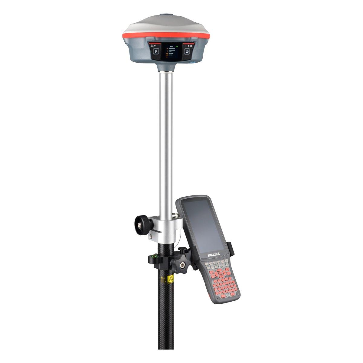
- Rover receiver on a GNSS rover rod and bipod
- Field controller with survey software
- Radio antennas, batteries, chargers and a hard case
- Software to export to CAD, and the coordinate system your client uses
The full kit list is in GPS surveying equipment.
What is an RTK drone, and is it the same thing?
An RTK drone carries a small GNSS receiver that takes corrections from a base or a network while it flies. Each photo is tagged with a position accurate to a few centimetres, instead of the several metres a standard drone records. That cuts the number of ground control points needed for a mapping job, though careful surveyors still set a few checkpoints to prove the result.
A related method, PPK (post-processed kinematic), records the drone's raw satellite data and corrects it afterwards against a base. It avoids the radio link dropping out at the far end of a long corridor and is common on road and canal mapping.
Either way, the base on the ground is the same survey receiver a crew already uses for boundaries. Many of our customers buy a base and rover first, then add a survey and mapping drone when the large-area work arrives. Our drone survey cost guide sets out what drone mapping costs per acre here and the accuracy ground control really gives.
How long does it take to learn RTK?
A surveyor who already uses a total station can run RTK for detail work after one field day: setting up the base, choosing the coordinate system, checking a known point and collecting points. Static control, localisation to local grids and road stake-out take longer, usually a few weeks of supervised use. We include a field handover with every set we sell, on a site with known points, so the first real job is not the first time the buttons are pressed.
What we supply
We supply and service RTK GNSS receivers from Rawalpindi:
- Kolida K60 Pro: flagship rover with IMU and visual stake-out
- Kolida K30 Pro: long-range base with a 3 W radio
- Kolida K6: all-round rover
- E-Survey E800 and E300 Pro: base and rover pairing
- Everything else under GPS and GNSS systems
We also run RTK surveys for clients who need coordinates once rather than an instrument; see land survey services in Pakistan.
Ask for today's price
Tell us where you work, how far your sites stretch and whether you have mobile signal there. We will tell you whether a single rover or a base and rover set suits you. Send us a WhatsApp for today's price.
What we supply
Equipment covered in this guide
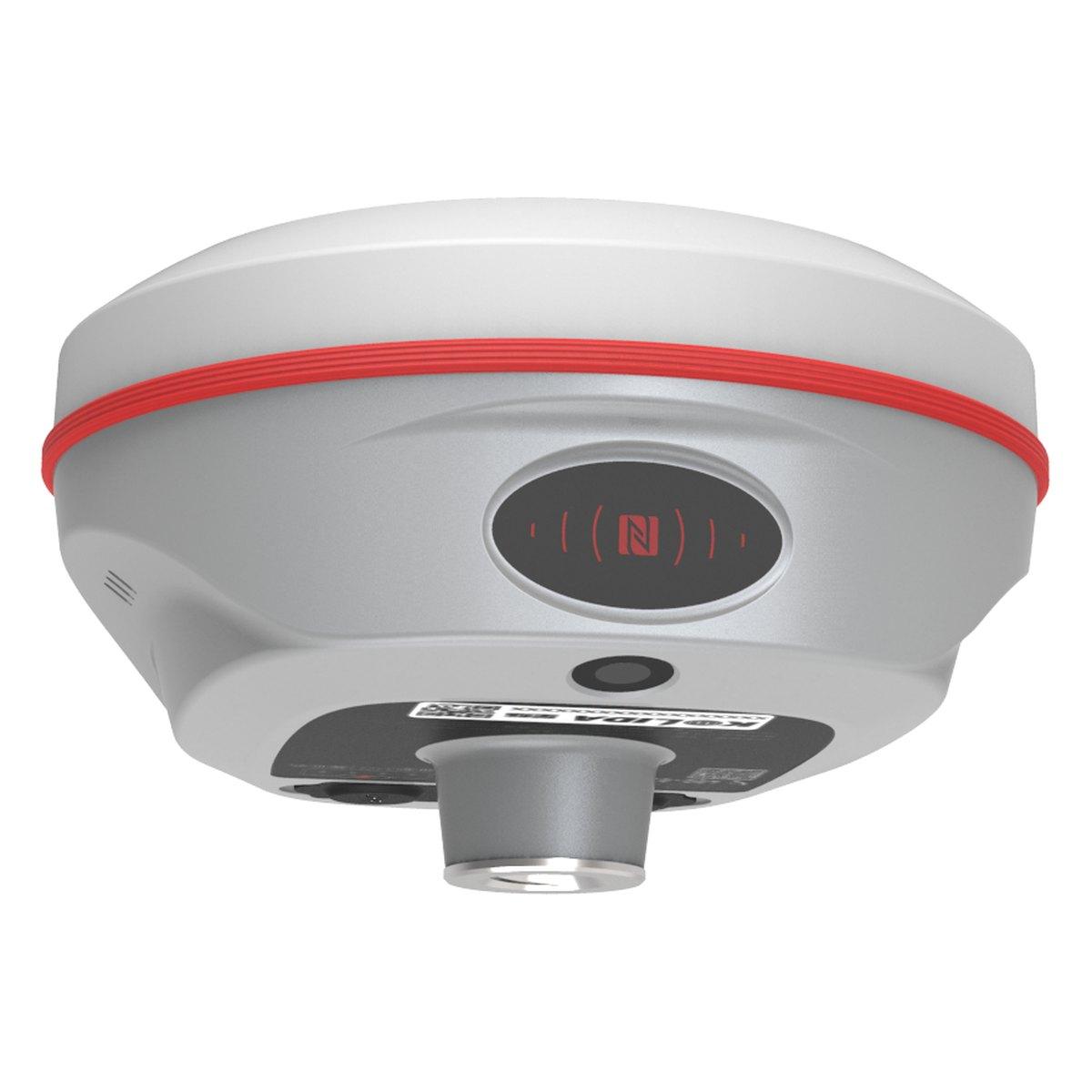 KolidaK6
Kolida K6 GNSS RTK Receiver
1598 channels in an 800 gram housing, with a calibration free IMU that lets you tilt the pole up to sixty degrees and still hit two centimetres.
 KolidaK30 Pro
Kolida K30 Pro GNSS RTK Receiver
A three watt radio that reaches ten to fifteen kilometres, and Star-Link correction for the sites where there is no base and no network.
KolidaK60 ProKolida K60 Pro GNSS RTK Receiver
The K60 with the longer range radio and the larger status display. Ask us for the current datasheet before you specify it.
FAQ
Questions buyers ask us
What is RTK GPS?
RTK, real-time kinematic, is a GNSS method that uses a base receiver on a known point to send corrections to a moving rover, many times a second. It measures the satellite carrier wave rather than the code, which takes accuracy from 3 to 10 metres down to about 1 to 2 cm, live in the field.
How accurate is RTK GPS?
A survey RTK receiver with a fixed solution gives about 8 mm plus 1 ppm horizontally and 15 mm plus 1 ppm vertically. At 5 km from the base that is roughly 1.3 cm and 2 cm. A float solution is much worse, often 20 cm or more, so always record only fixed points.
How much does an RTK GPS cost in Pakistan?
In 2026 a single network RTK rover costs about PKR 600,000 to 1,100,000, and a complete base and rover set with controller PKR 1,200,000 to 2,500,000 for Chinese brands such as Kolida and E-Survey. Sokkia sets run PKR 2,500,000 to 3,500,000. These are market ranges; confirm today's price on WhatsApp.
Do you need a subscription for RTK?
Not with your own base and rover: the base sends corrections over UHF radio and there is nothing to pay each month. You need a subscription only for network RTK, where the rover gets corrections from a CORS service over mobile data. Coverage in Pakistan is patchy, so most buyers take a base.
Is RTK better than GPS?
RTK is not a rival to GPS; it is a way of using GPS and the other GNSS satellites more precisely. Standalone GPS gives 3 to 10 m. RTK with the same satellites gives 1 to 2 cm. For navigation plain GPS is enough; for boundaries, levels and setting out you need RTK.
How far can the rover be from the base?
With a built-in UHF radio, plan on 3 to 5 km in open country and less among buildings. A 3 W or external radio and a tall base mast stretch that to 8 to 15 km. Accuracy also falls by about 1 mm per km, so for control work keep baselines under 10 km.
Can RTK work without mobile signal?
Yes. A base and rover pair talk over UHF radio and need no mobile network, which is why they are the standard choice for Balochistan, Thar, the northern areas and canal sites. Only network RTK and some app features depend on 4G coverage.