Total station vs GPS is not a contest one side wins. A total station is more accurate over short distances, about 2 mm plus 2 ppm; RTK GPS gives 1 to 2 cm anywhere with open sky. In Pakistan a complete Kolida total station set costs PKR 500,000, an RTK base and rover set PKR 1,200,000 to 2,500,000.
Most survey firms and contractors we supply in Rawalpindi end up owning both, and use each where it is strongest. This guide sets out the trade, job by job, so you can decide which to buy first.
Is a total station more accurate than GPS?
Within a few hundred metres, yes. A total station measures angles to 1, 2 or 5 seconds and distances by laser to about 2 mm plus 2 ppm. At 150 m that is a position good to roughly 3 to 4 mm. No satellite method matches that in real time.
RTK GNSS, by comparison, gives about 8 mm plus 1 ppm horizontally and 15 mm plus 1 ppm vertically with a fixed solution. In practice, 1 to 2 cm in plan and 2 to 3 cm in height.
Where GNSS wins is consistency over distance. A total station traverse along a 12 km canal or road adds a little error at every set-up, and without careful closure it accumulates. Every RTK point is measured independently from the same base, so point 900 is as good as point 9.
Total station vs GPS, side by side
| Total station | RTK GNSS | |
|---|---|---|
| Accuracy, short range | 2 mm + 2 ppm | 1 to 2 cm plan, 2 to 3 cm height |
| Accuracy over km | Builds up with each set-up | Constant, about 1 mm per km from the base |
| Line of sight | Needs instrument to prism | Needs open sky only |
| Crew | Usually two | One person with a rover |
| Under trees, beside buildings | Works | Struggles or fails |
| Indoors, tunnels, basements | Works | Does not work |
| Speed on open sites | Slower, many set-ups | Fast, walk and record |
| Indicative price in Pakistan | PKR 500,000 for a Kolida KTS-442P set | PKR 1,200,000 to 2,500,000 for a set |
The total station price is our own confirmed price for the Kolida KTS-442P complete set (August 2026). GNSS figures are 2026 market ranges; confirm today's price on WhatsApp.
Which is more accurate, RTK or total station, for each job?
Boundary and demarcation. RTK. Pillars on a 100 kanal plot or a housing society are spread out and need coordinates in a common system, usually UTM. A rover does it in a fraction of the time. See GPS survey in Pakistan.
Topographic surveys of open land. RTK. One person can pick up hundreds of points an hour on a cleared site.
Building setting out, columns and grid lines. Total station. Millimetres matter and the site is crowded with formwork and scaffolding.
Levels for drainage and floors. Total station or an auto level. RTK height is the weakest part of the method.
Roads, canals and pipelines over many kilometres. RTK for alignment and cross-sections, with a total station for structures, culverts and bridges.
Old city lanes, orchards, under shisham and mango trees. Total station. The sky is simply not visible enough for GNSS.
Control points for a big project. GNSS in static mode, then total stations work from those points. This is how most motorway and dam projects run.
Which is better, DGPS or total station?
In Pakistani tenders "DGPS" usually means RTK GNSS with corrections. So the question is the same as above, and so is the answer: DGPS for large open areas, boundaries and control; total station for precision, structures and blocked sky.
One practical point: many consultants specify DGPS for the control and boundary, then accept total station detail work tied to those control points. Read the requirement before buying; our DGPS price guide explains how.
What are the disadvantages of each?
Total station
- Line of sight. Every point needs a clear view to the prism. On a site of 50 acres with mounds and crops you move the instrument often.
- Two people. The instrument operator and the prism carrier. Robotic stations change that, at a much higher price.
- Set-up error. Each new station adds centring and orientation error.
- Speed. A topographic survey that a rover finishes in one day can take a total station crew three.
GPS and GNSS
- Needs sky. Fails or misleads under trees and next to buildings.
- Height is weaker. Fine for topography, marginal for floor and drainage levels.
- Higher entry price for a base and rover set.
- Coordinate systems. Points arrive on WGS 84; you must set up the right projection and zone for the job. Our UTM coordinates guide covers this.
How the two work together on a real project
On a typical housing scheme or road job near Rawalpindi, the instruments hand over to each other in a fixed order:
- Control by GNSS. A static GNSS session fixes four to eight control pillars across the site in WGS 84 UTM, tied to an existing benchmark. See DGPS survey.
- Boundary and topography by RTK. A rover picks up the boundary pillars, existing roads, drains and a grid of spot levels in a day or two.
- Design in CAD on those coordinates.
- Setting out roads and plots by RTK, because the points are spread out and the sky is open.
- Structures by total station. The total station is set up on two of the GNSS control pillars, oriented, and used for culverts, boundary walls, building grids and levels to the millimetre.
- Checks. Both instruments measure the same two or three pillars every week. Agreement within 2 to 3 cm in plan means the system is sound.
The same pattern applies at a smaller scale. A contractor building a single factory shed in Hattar might fix two control points by RTK on the first morning, then work entirely by total station for six months. A surveyor demarcating 40 plots in a scheme near Chakri Road might never unpack a total station at all.
Firms that own only one instrument either hire the other for the parts that need it, or accept slower or less accurate work on those parts. That trade is what decides which you buy first.
The rule we give customers buying their first instrument
Look at where your work actually is. If more than half your jobs are inside towns, on buildings or under trees, buy the total station first. If more than half are open land, boundaries or long linear jobs, buy GNSS first. Then hire the other when needed until the work justifies owning both.
A field check that saves arguments later: on any job where both are used, measure two shared control points with each. If the total station and the rover disagree by more than 3 cm in plan, something is wrong with the set-up or the coordinate system, not with the instruments.
What we supply
From our counter in Rawalpindi we supply both, with training and service:
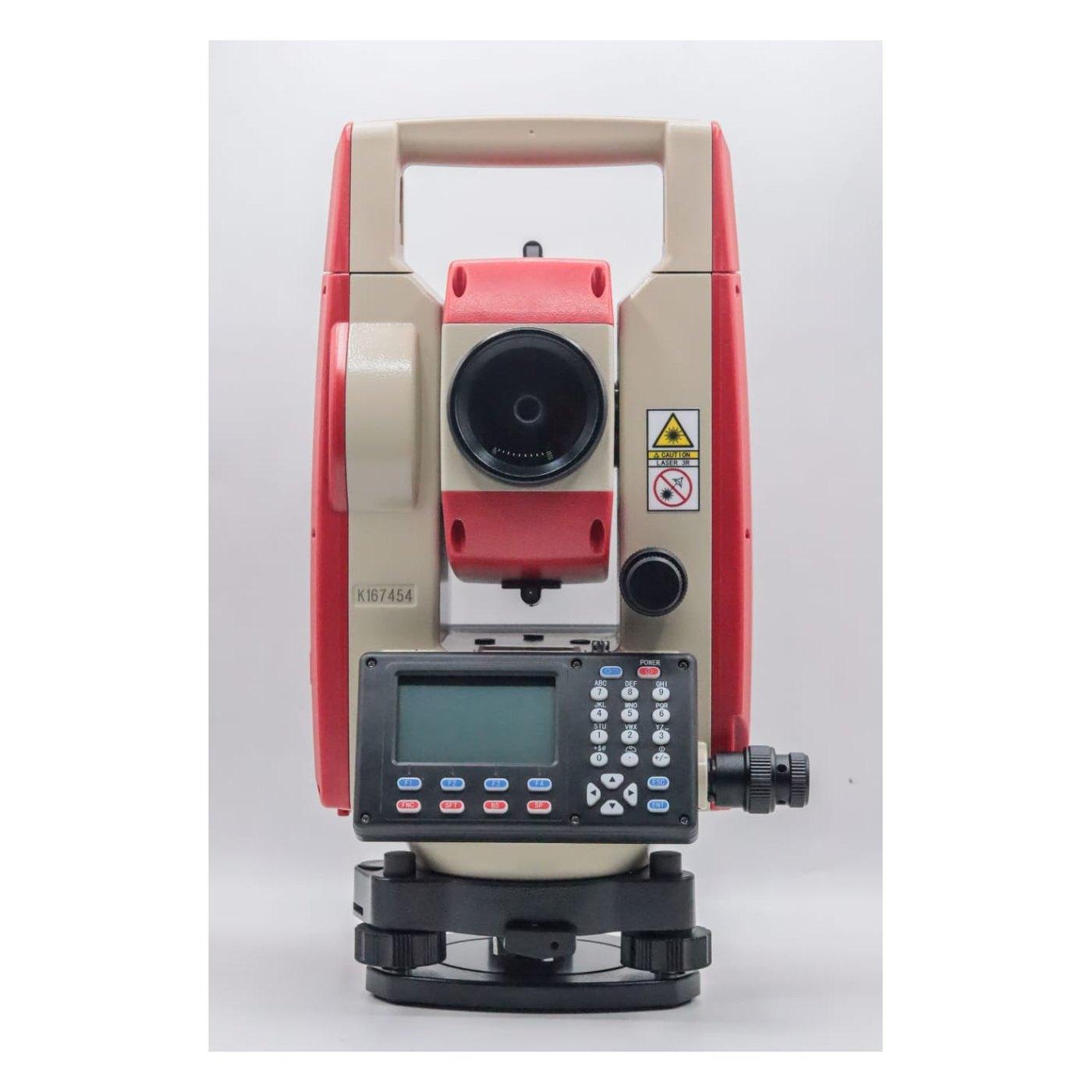
- Kolida KTS-442P total station: PKR 500,000 for the complete set
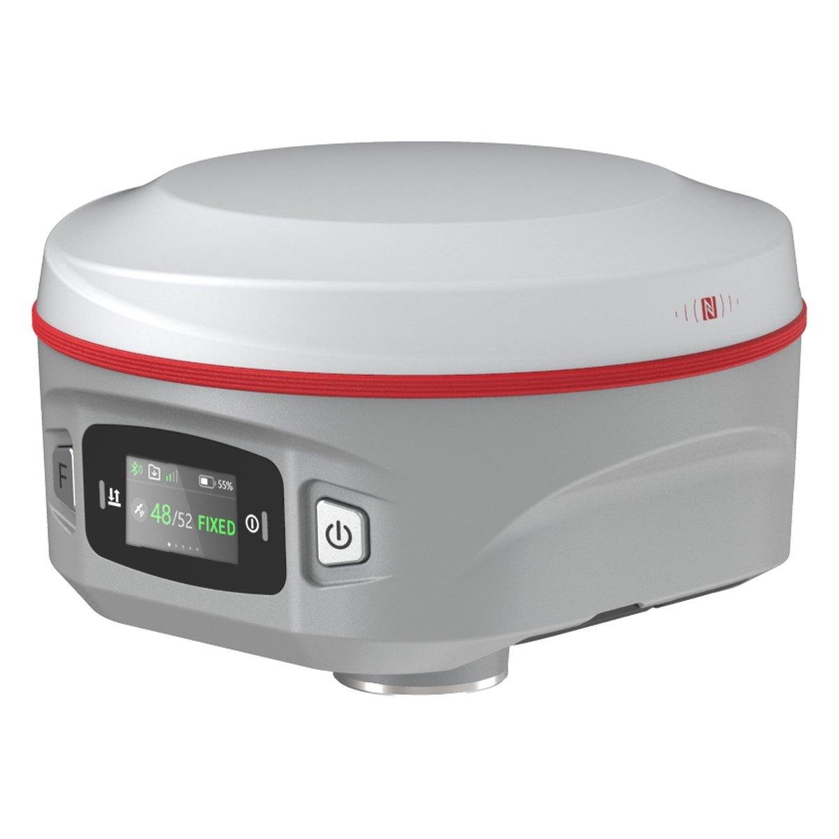
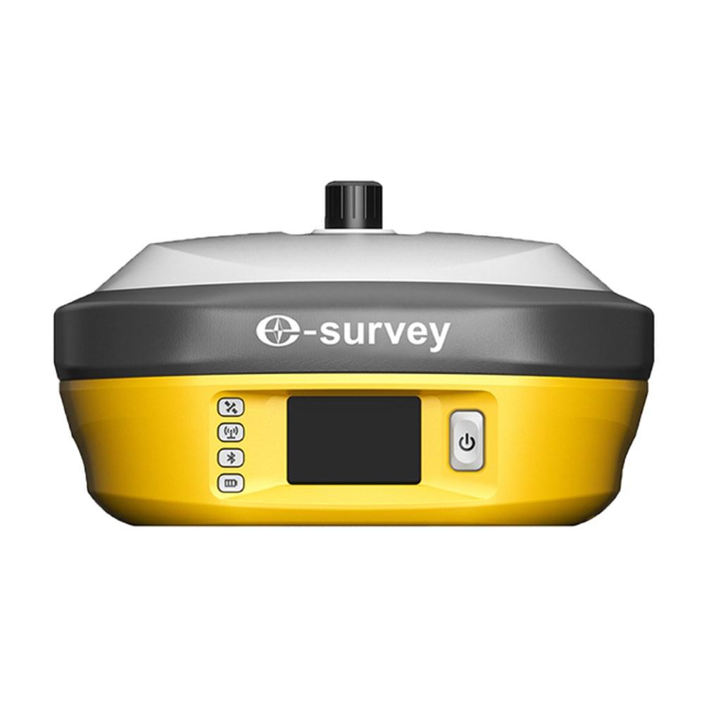
- Kolida K6 and K9s GNSS rovers
- Kolida K30 Pro long-range base
- Sokkia GRX1 for consultancy fleets
- Browse total stations and GPS and GNSS systems
Further reading: total station price in Pakistan and what is RTK GPS.
Ask for today's price
Tell us what kind of work fills most of your month and where it is. We will recommend the instrument to buy first and price both. Send us a WhatsApp for today's price.
What we supply
Equipment covered in this guide
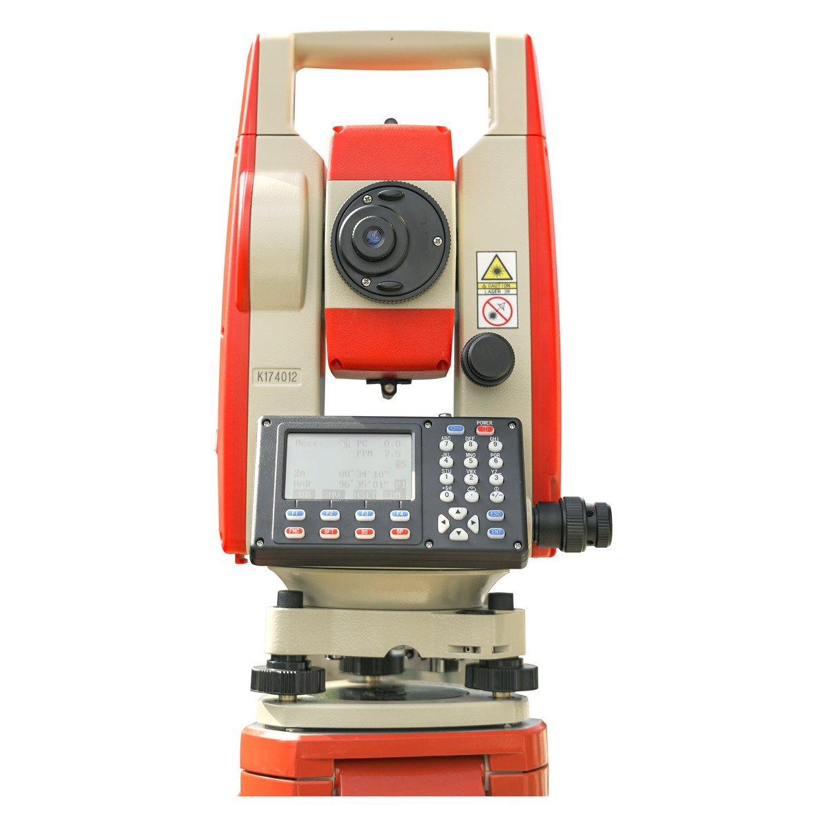 KolidaKTS-442P
Kolida KTS-442P Total Station
The workhorse of our survey counter. Reflectorless measurement, a rugged field build and a hard carry case that survives the back of a pickup.
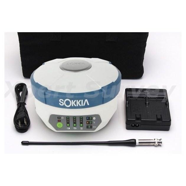 SokkiaGRX1
Sokkia GRX1 GNSS Receiver
Base and rover RTK in a single housing. Topographic pickup and stakeout across a large site without dragging a total station around it.
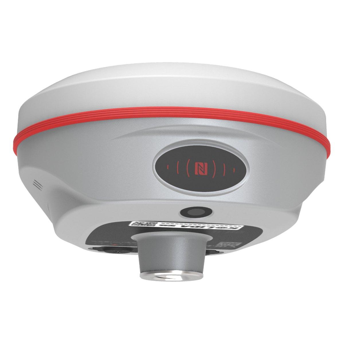 KolidaK6
Kolida K6 GNSS RTK Receiver
1598 channels in an 800 gram housing, with a calibration free IMU that lets you tilt the pole up to sixty degrees and still hit two centimetres.
FAQ
Questions buyers ask us
Is a total station more accurate than GPS?
Over short distances, yes. A 2-second total station measures to about 2 mm plus 2 ppm, so a point 200 m away is within a few millimetres. RTK GNSS gives about 1 to 2 cm horizontally and 2 to 3 cm vertically. For structural setting out and fine levels the total station wins.
Which is more accurate, RTK or total station?
A total station is more accurate within a few hundred metres; RTK is more consistent over long distances because its error does not build up from station to station. A 10 km road alignment by traverse collects error at every set-up, while every RTK point is independent, within 1 to 2 cm.
Which is better, DGPS or total station?
Neither is better everywhere. DGPS, meaning RTK in most Pakistani tenders, is faster for large open sites, boundaries and control because one person can work and no line of sight is needed. A total station is better in dense towns, under trees, indoors and for precise structural work.
What is the disadvantage of a total station?
It needs a clear line of sight between instrument and prism, usually two people, and frequent set-ups on large sites. Each set-up adds error. A 50 acre topographic survey that RTK finishes in a day can take a total station crew three days or more.
What does each cost in Pakistan?
A complete Kolida KTS-442P total station set costs PKR 500,000 from us (August 2026). A survey GNSS rover runs about PKR 600,000 to 1,100,000, and a base and rover RTK set PKR 1,200,000 to 2,500,000 for Chinese brands. GNSS prices are market ranges; confirm today's price on WhatsApp.
Can GPS work indoors or under trees?
No. GNSS needs a view of the sky. Under dense trees, beside tall buildings or inside a structure the receiver either cannot fix or gives a fix that is wrong by several centimetres. A total station works anywhere it can see the prism, which is why most firms own both.