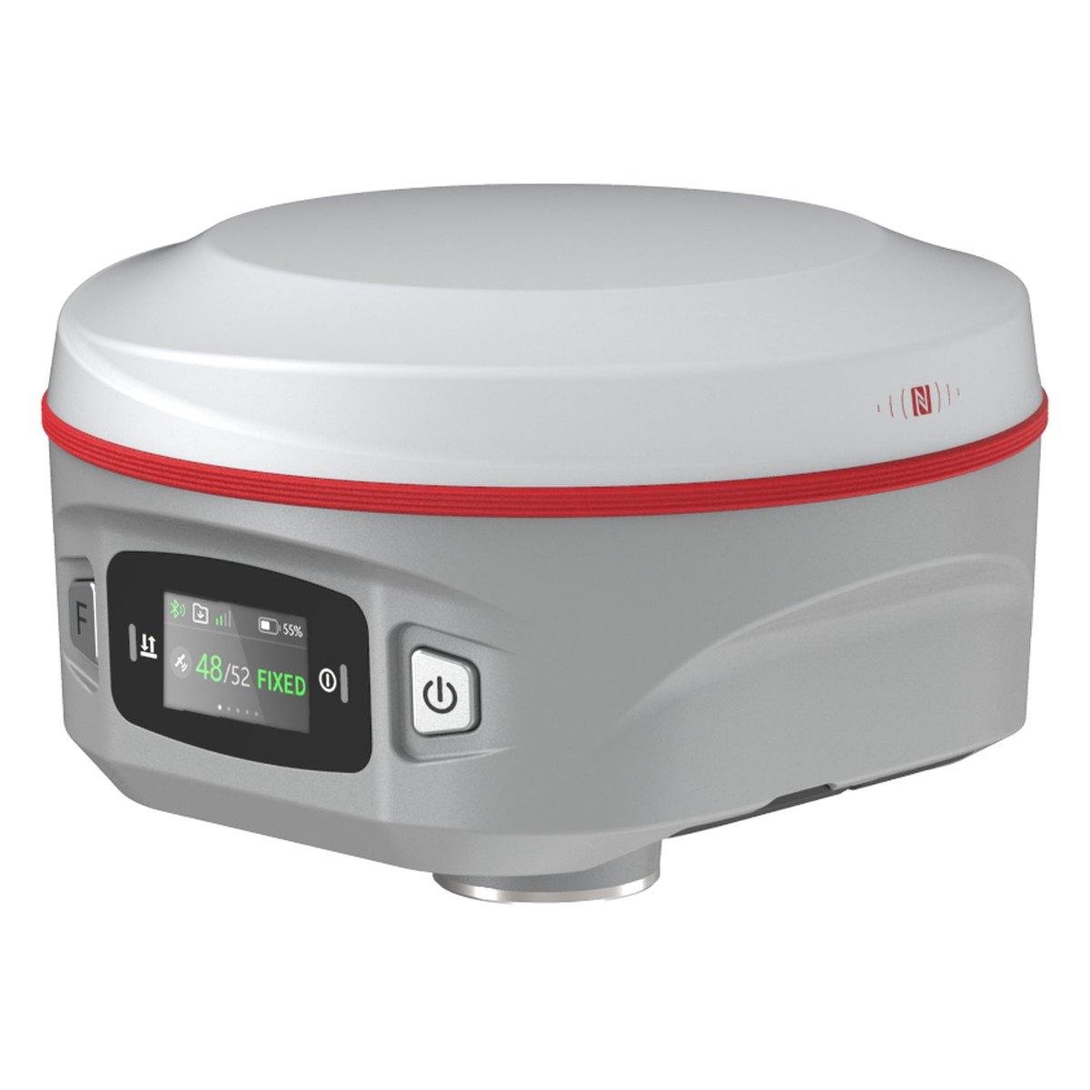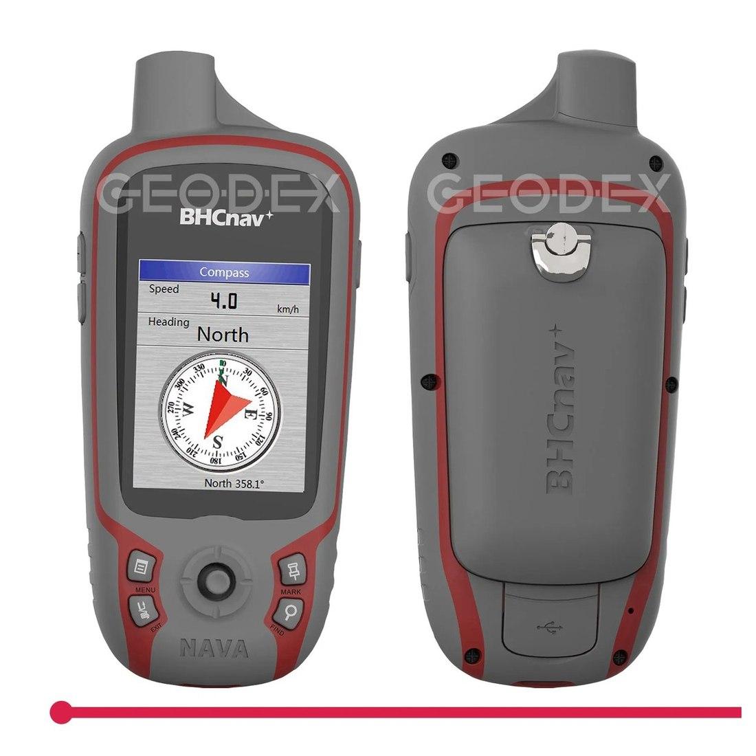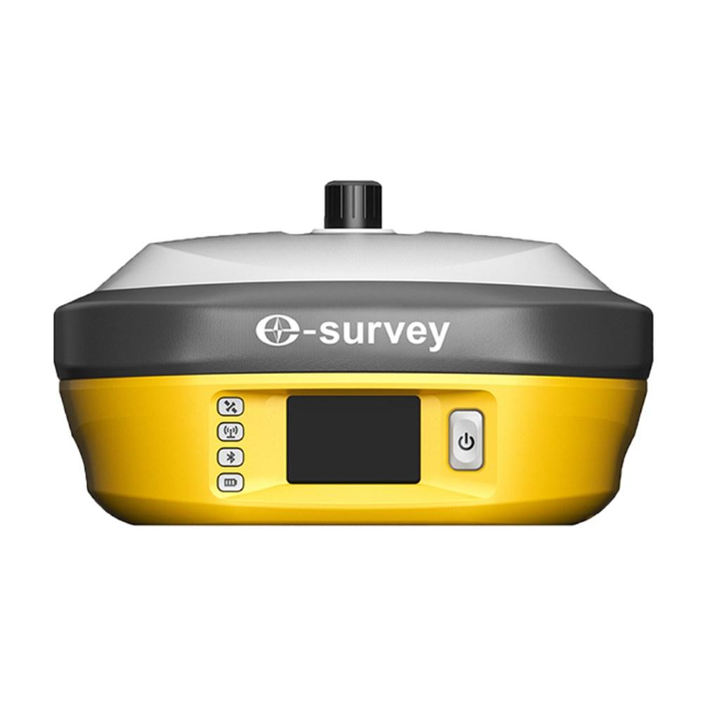
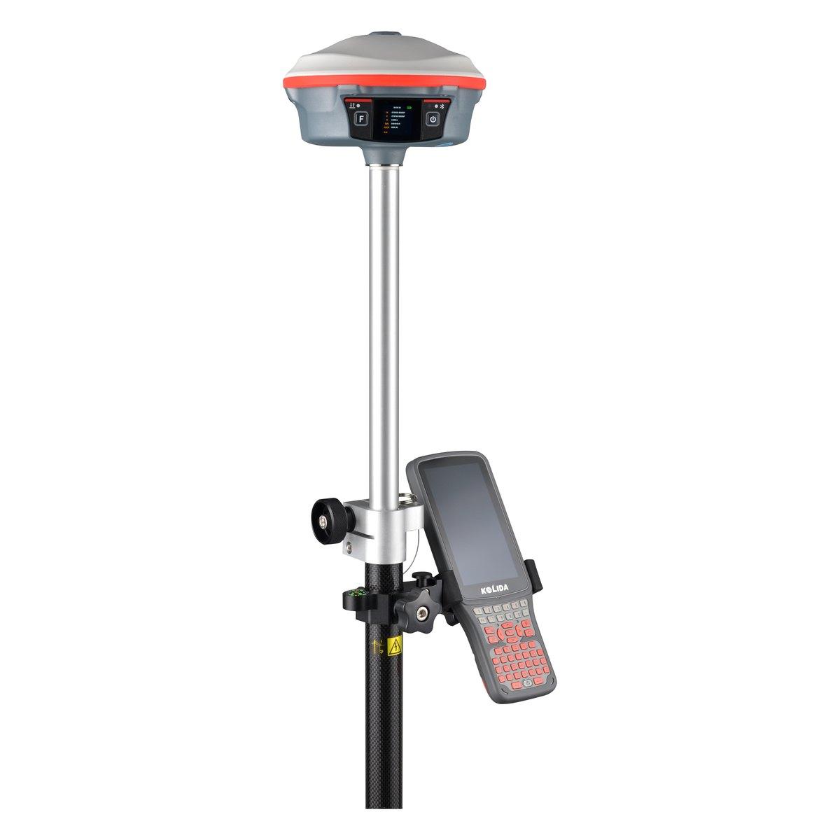
A DGPS survey uses two or more survey GNSS receivers, one on a known point, to remove satellite errors and fix coordinates to millimetres or a centimetre or two. In Pakistan a control network is usually run as static sessions of 30 minutes to two hours per baseline, processed in software, then used as the base for RTK detail work.
"DGPS survey" is the phrase in most consultant scopes, NOC requirements and development authority tenders we see in Rawalpindi and Islamabad. The phrase is older than the equipment now used to deliver it. This guide covers the procedure as it is actually done with modern GNSS, the session lengths that hold up, and the report that gets accepted.
What does DGPS stand for, and does it still exist?
DGPS is Differential Global Positioning System. The idea is simple: a receiver sitting on a point with known coordinates can see how wrong the satellites are making it, and that difference can be applied to other receivers nearby.
The original marine DGPS beacons are largely history. The survey method is not. When a Pakistani tender asks for a DGPS survey it means one of two things, and you should ask which:
- Static observations, post-processed, for control points and benchmarks. Millimetre-level.
- RTK, real-time corrections from a base, for boundaries and detail. Centimetre-level.
Our DGPS price guide covers what the equipment costs and how to read the requirement. This guide is about doing the survey.
What is the procedure of a DGPS survey?
On a typical project, a housing scheme, a road or an industrial site, the work runs in this order:
- Plan the network. Decide how many control points you need and where. For a scheme of a few hundred acres, four to eight well-spread points is common; add points so no part of the site is more than a kilometre or two from one.
- Reconnoitre. Every point needs open sky above about 15 degrees elevation, no high-voltage lines overhead, no metal roofs or water tanks beside it, and safe access. A point on a rooftop next to a water tank is a point that will multipath.
- Monument. Concrete pillars with a brass or steel centre mark, numbered, photographed, described with ties to nearby features.
- Tie to existing control. Occupy at least one, preferably two, existing benchmarks or Survey of Pakistan points so the network sits in the right place and height.
- Observe static sessions. Run receivers simultaneously on pairs or groups of points. Every point should be connected by at least two independent baselines.
- Process and adjust. Compute the baselines in office software, check loop closures, then run a network adjustment. Reject and re-observe anything that does not close.
- Run RTK detail. Set the base on an adjusted control point, check on a second one, then collect boundaries and topography.
- Report. Coordinates, heights, datum, zone, method, accuracy and checks.
How long should a static GPS session be?
These are working rules for dual-frequency, multi-constellation receivers in open sky:
| Baseline length | Minimum session | Logging interval | Expected precision |
|---|---|---|---|
| Under 5 km | 30 to 45 minutes | 5 to 15 s | 3 to 5 mm + 0.5 ppm |
| 5 to 10 km | About 1 hour | 15 s | 5 mm + 0.5 ppm |
| 10 to 20 km | 2 hours | 15 to 30 s | 5 to 10 mm |
| Over 20 km | 3 hours or more, or tie to a nearer point | 30 s | Depends on processing |
Single-frequency receivers need much longer and should not be used for baselines beyond a few kilometres.
In Pakistani summer, plan sessions early. By early afternoon the ionosphere is at its most active, receivers on dark tripods in Multan or Bahawalpur heat up, and crews make mistakes in 45 degree heat. A morning session is a better session.
Measuring the antenna height: the error that ruins good data
The single most common fault we see in static data brought to our counter is a wrong antenna height. A slant height entered as vertical, a reading taken to the wrong reference mark, or one receiver measured in centimetres and another in inches. The baselines process beautifully and every height is wrong.
The rule: measure the height at the start and the end of every session, at three points around the antenna, and write it on paper as well as entering it in the receiver. It takes two minutes and it is the only way to recover a session where the receiver entry is wrong.
What is the difference between GPS and DGPS in accuracy?
| Method | Accuracy |
|---|---|
| Single receiver, standalone | 3 to 10 m |
| Code DGPS | 0.3 to 1 m |
| RTK (carrier-phase DGPS) | 1 to 2 cm plan, 2 to 3 cm height |
| Static, post-processed | 3 to 5 mm + 0.5 ppm |
Claim in the report only what the processing supports.
Choosing and protecting control points
Control points are only useful if they survive the project. On Pakistani sites they are lost to graders, boundary walls, road widening and, often, to people who think a concrete pillar is in the way.
- Set them outside the area that will be excavated or built on, and away from roads that will be widened.
- Use a proper monument: a concrete pillar at least 45 cm deep with a steel or brass centre mark, not a nail in the road.
- Paint and number them, and photograph each from two directions with something recognisable in the frame.
- Write a description with distances to two permanent features: a house corner, an electricity pole, a culvert.
- Set more than you need. Losing one of four points weakens the network badly; losing one of eight does not.
When the crew returns three months later for setting out, a well-described point is found in five minutes. A badly described one costs a day of searching and sometimes a new static session. "Sub-centimetre" written across the whole job, when detail was picked up by RTK, is a claim a reviewer will challenge.
What goes in a DGPS survey report?
Consultants reviewing a control survey look for:
- Coordinate system: datum (WGS 84), projection (UTM), zone (41N, 42N or 43N depending on longitude) and the height reference. See UTM coordinates in Pakistan.
- Control used and its source, with coordinates.
- Equipment: receiver models and serial numbers.
- Session log: who, where, when, how long, antenna heights.
- Processing results: baseline residuals, loop closures, adjustment statistics.
- Final coordinates with estimated precision.
- Point descriptions with photographs and sketches.
How much does a DGPS survey cost in Pakistan?
Firms usually quote a control network per point and detail work per day or per area. As an indicative 2026 range, a two-person GNSS crew costs about PKR 25,000 to 60,000 a day in the twin cities, plus travel. Long distances, difficult access and a full adjusted report all add cost. Get written quotes that list the deliverables above.
For firms doing this every month, owning a set is cheaper. A base and rover with static capability costs about PKR 1,200,000 to 2,500,000 for Chinese brands (market range; confirm today's price on WhatsApp).
What we supply
For DGPS and control work we supply:
- Kolida K30 Pro: base with a 3 W radio and static logging
- Kolida K6: rover for RTK detail
- E-Survey E800 and Sokkia GRX1
- GNSS rover rod and bipod and aluminium survey tripods
- Browse GPS and GNSS systems and tools and accessories
Related guides: GPS survey in Pakistan and GNSS base and rover setup.
Ask for today's price
Send us the scope: number of control points, site location and the report your consultant wants. We will quote the survey or the equipment to do it yourself. Send us a WhatsApp for today's price.
What we supply
Equipment covered in this guide
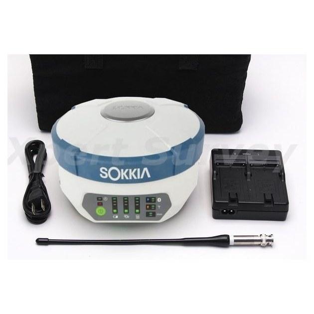 SokkiaGRX1
Sokkia GRX1 GNSS Receiver
Base and rover RTK in a single housing. Topographic pickup and stakeout across a large site without dragging a total station around it.
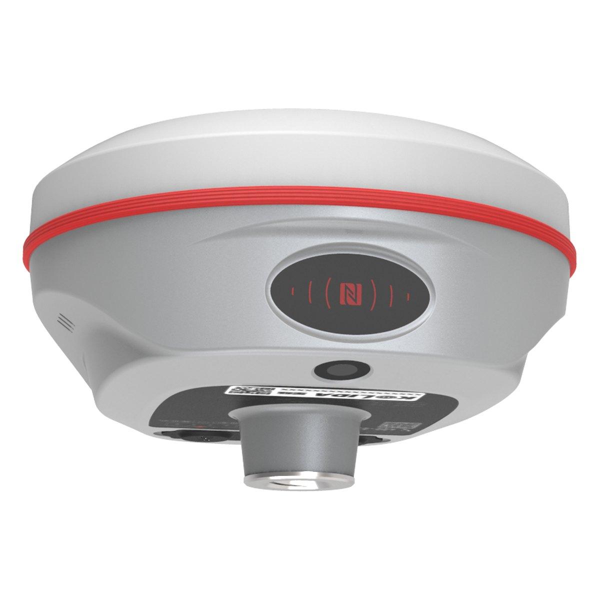 KolidaK6
Kolida K6 GNSS RTK Receiver
1598 channels in an 800 gram housing, with a calibration free IMU that lets you tilt the pole up to sixty degrees and still hit two centimetres.
KolidaK30 ProKolida K30 Pro GNSS RTK Receiver
A three watt radio that reaches ten to fifteen kilometres, and Star-Link correction for the sites where there is no base and no network.
FAQ
Questions buyers ask us
What does DGPS stand for?
DGPS stands for Differential Global Positioning System. A receiver on a known point measures the satellite errors and those corrections are applied to other receivers nearby. In Pakistani tenders a DGPS survey almost always means survey-grade GNSS with static or RTK corrections, accurate to millimetres or a centimetre or two.
What is the procedure of a DGPS survey?
Plan the control network, reconnoitre and monument the points, run simultaneous static sessions between pairs of receivers, tie into existing benchmarks, process the baselines and adjust the network, then run RTK detail from the adjusted points. Finish with a report stating datum, zone, accuracy and checks.
How long should a static GPS session be?
As a working rule with dual-frequency GNSS: 30 to 45 minutes for baselines under 5 km, about an hour for 5 to 10 km, and two hours or more beyond 10 to 20 km. Observe in open sky with at least 8 to 10 satellites and record at 5 to 15 second intervals.
What is the difference between GPS and DGPS?
Plain GPS uses one receiver and gives 3 to 10 m. DGPS uses a second receiver on a known point to remove the shared errors. Code DGPS reaches under a metre; carrier-phase DGPS, meaning static or RTK survey methods, reaches millimetres to 2 cm.
Does DGPS still exist?
As a marine beacon service, it has largely been switched off in many countries. As a survey term it is very much alive in Pakistan: consultants, NHA, WAPDA and development authority tenders still ask for a DGPS survey, and they mean modern multi-constellation GNSS with static or RTK methods.
How much does a DGPS survey cost in Pakistan?
It depends on the number of control points, the distances and the report. As an indicative 2026 range, a two-person crew with GNSS costs about PKR 25,000 to 60,000 a day in the twin cities plus travel. A control network is usually quoted per point. Get written quotes stating the deliverables.