A handheld GPS in Pakistan costs about PKR 60,000 to 110,000 for an entry Garmin eTrex class unit and PKR 130,000 to 250,000 for a GPSMAP class handheld in 2026, accurate to about 3 to 5 metres. That is right for navigation and reconnaissance. For boundaries and levels you need a survey GNSS rover, accurate to 1 to 2 cm.
We are asked about handheld GPS units at our counter most weeks, usually by someone who wants to mark a plot boundary and has been told "a GPS" will do it. Sometimes it will. Often it will not. This guide sets out what each class costs, what it can actually do, and where the line is.
What is the price of a handheld GPS in Pakistan?
| Class | Typical examples | Accuracy in open sky | Indicative market price (PKR) | Good for |
|---|---|---|---|---|
| Entry handheld | Garmin eTrex 22x / 32x class | 3 to 5 m | 60,000 to 110,000 | Hiking, tracks, finding sites |
| Mapping handheld | Garmin GPSMAP 65 / 67 class | 2 to 5 m | 130,000 to 250,000 | Field mapping, forestry, utilities |
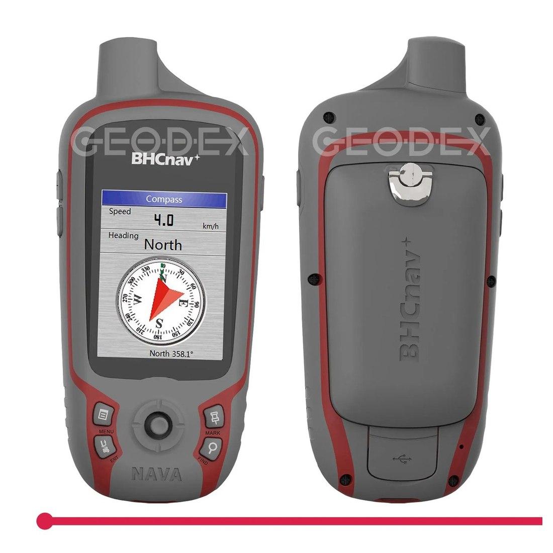
| Generic mapping unit | Unbranded GIS handhelds | 2 to 5 m | Often lower; quoted on request | Reconnaissance and point collection |
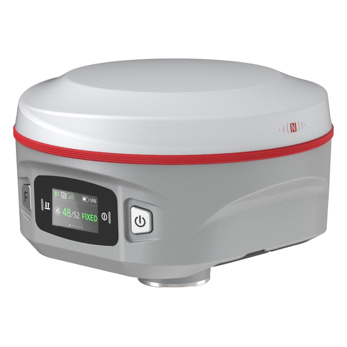
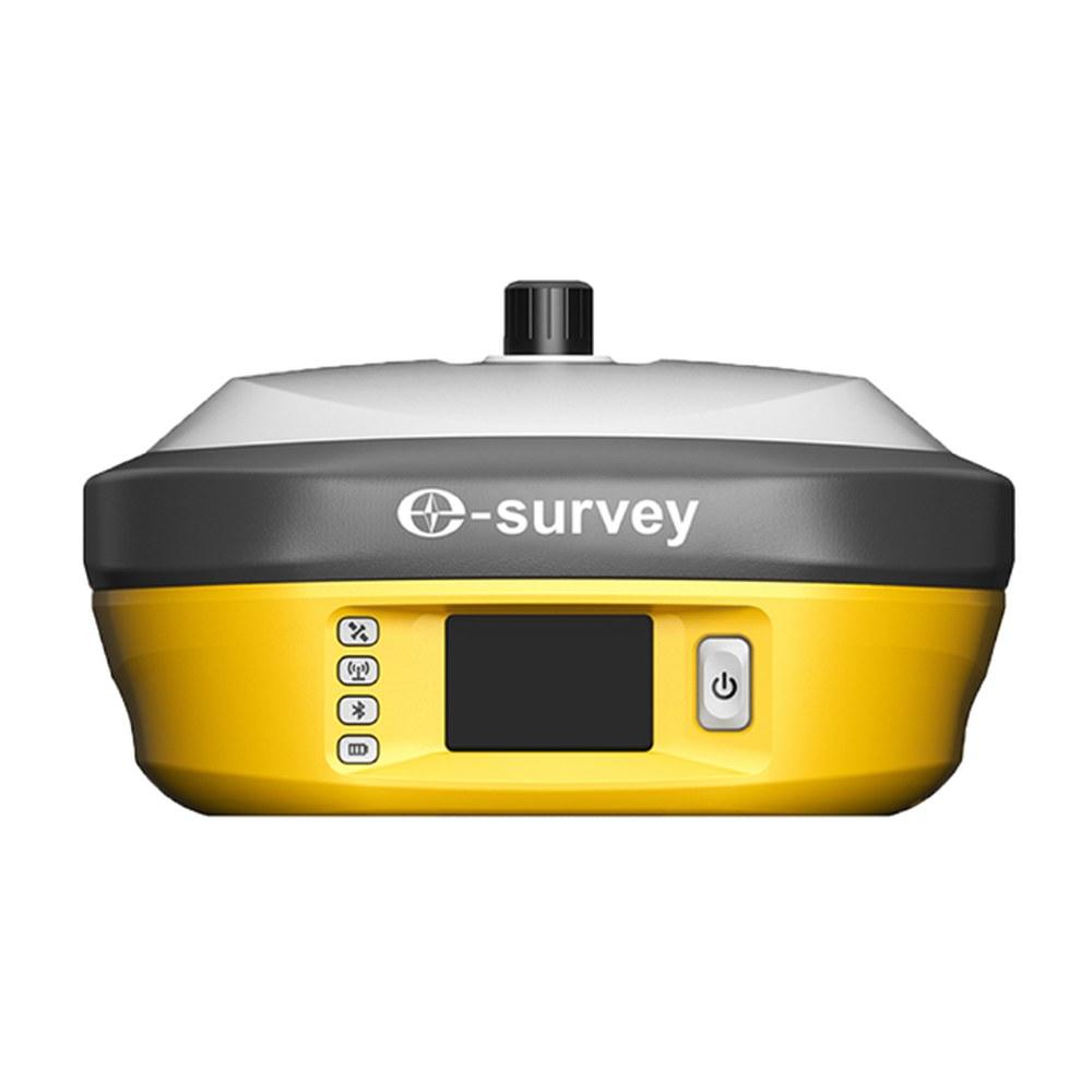
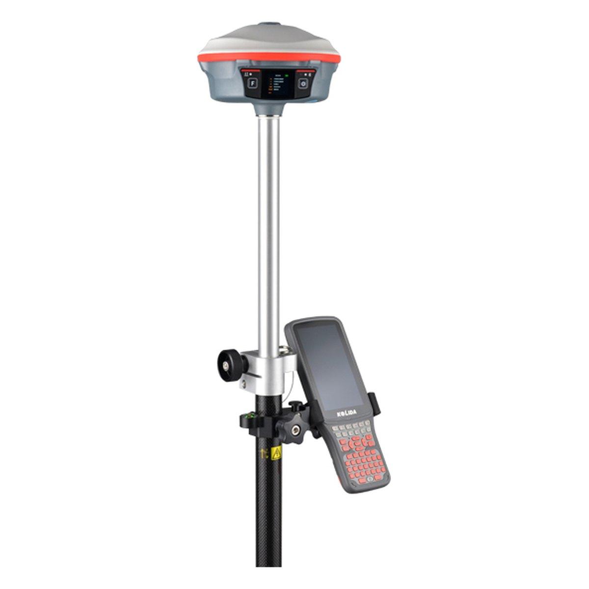
| Survey GNSS rover | Kolida K6, E-Survey E300 Pro | 1 to 2 cm with RTK | 600,000 to 1,100,000 | Boundaries, levels, setting out |
Prices are 2026 market ranges in Pakistan and move with the exchange rate. Branded handhelds are sold through their authorised dealers; we supply a mapping-grade handheld GPS receiver and survey GNSS. Confirm today's price on WhatsApp.
How accurate is a handheld GPS, really?
The specification says 3 metres. The field says it depends.
- Open field, clear sky: 2 to 5 m. Multi-band models are steadier.
- Under trees: 5 to 15 m, and the track wanders.
- Between buildings in an old city: 10 m or worse, with jumps when the signal reflects off walls.
- Height: two to three times worse than plan. A handheld is not a levelling instrument.
A simple field check we show customers: stand on one spot, record a point every minute for ten minutes, and look at the spread. Whatever spread you see is your real accuracy at that place, at that time. Most people are surprised.
Can I use a handheld GPS for land survey?
It depends what "survey" means.
Yes, for:
- Finding a site, an old pillar or a well from given coordinates
- Rough area of a large plot, as a first estimate
- Logging the route of a canal, a track or a power line for planning
- Ground truth for a drone or satellite map at the planning stage
No, for:
- Plot and kanal boundaries
- Housing society layouts
- Levels for drainage, roads or floors
- Anything going to a consultant, a development authority, a court or a revenue officer
A 4 metre error on each corner of a 10 marla plot is enough to put the boundary wall on the neighbour's land. For that work, use a survey GNSS rover with RTK; see what is RTK GPS and GPS survey in Pakistan.
Is a phone as good as a handheld GPS?
For accuracy, nearly. Modern phones track GPS, GLONASS, Galileo and BeiDou and land within a few metres. Our GNSS vs GPS guide explains the systems.
The handheld wins on:
- Battery: a day or two on AA cells versus a phone that dies by afternoon with the screen on
- Screen: readable in full Pakistani summer sun
- Toughness: drops, dust and rain
- Offline maps: no mobile signal needed in Chitral, Waziristan or the Thar
For a field team working away from towns, the handheld earns its price. For occasional use near a city, a phone with an offline map app does most of the job.
How to record a point properly with a handheld
A handheld can do better than its worst case if it is used carefully:
- Switch it on in the open and wait two or three minutes before recording, so it has a full set of satellites.
- Hold it still at chest height, antenna up, away from the car and away from walls.
- Use the averaging function if it has one, and average for at least a minute. On most units this brings the spread down noticeably.
- Record the point twice, at different times of day if you can, and compare.
- Note the coordinate format and datum on paper: usually WGS 84 and either decimal degrees or UTM. Without that note, the numbers are hard to use later.
Using a handheld with Google Earth and drone maps
Most handhelds export tracks and points as GPX or KML. Open them in Google Earth Pro to see where you walked, or in QGIS alongside a drone orthomosaic. Remember that Google imagery in Pakistan can itself be offset by a few metres, and a handheld adds its own few metres, so the two can disagree by 5 to 10 m without either being faulty. For planning that is fine. For anything that will be built or registered, survey it.
Which is better: a Garmin handheld or a survey GNSS?
It is the wrong comparison, and it costs people money in both directions. Contractors buy a survey GNSS for jobs where a PKR 80,000 handheld would do; landowners buy a handheld for a boundary job that needs centimetres.
The rule: if an error of 5 metres would change a decision, money or a wall, you need survey GNSS. If it would not, a handheld is enough.
A survey GNSS rover costs about PKR 600,000 to 1,100,000 and a base and rover set PKR 1,200,000 to 2,500,000 (2026 market ranges). If you only need centimetre coordinates once, hiring a survey is cheaper than buying; see land survey services in Pakistan.
Who buys handheld GPS units in Pakistan?
From our counter, the buyers fall into a few groups:
- Geologists and exploration crews logging outcrops, sample points and traverses in Balochistan, Chitral and the Salt Range
- Water and tube well contractors recording borehole locations alongside a water level survey
- Forest, wildlife and agriculture teams mapping plots, nurseries and boundaries for records, not for title
- Utilities and telecoms logging poles, towers and cable routes for an asset register
- Survey firms sending a junior to reconnoitre a site before the RTK crew goes out
All of these need to find and record locations to a few metres. None of them is setting out a wall. When the same organisation later needs a boundary, a level or a layout, that is the point at which a survey GNSS rover, or a hired survey crew, comes in.
What to check before buying a handheld
- Constellations: GPS plus at least GLONASS and Galileo; BeiDou is a bonus in Pakistan.
- Maps: are Pakistani topographic or road maps available for it?
- Coordinate formats: it should display UTM as well as latitude and longitude. See UTM coordinates in Pakistan.
- Export: GPX or KML to your computer, for Google Earth and GIS.
- Warranty: who repairs it in Pakistan.
What we supply
- Handheld GPS receiver: metre-level navigation and point collection for reconnaissance and exploration traverses
- E-Survey E300 Pro and Kolida K6: survey GNSS rovers for centimetre work
- Survey and mapping drone for large areas
- The range under GPS and GNSS systems
Ask for today's price
Tell us what you want to measure and how close it needs to be. We will tell you honestly whether a handheld is enough. Send us a WhatsApp for today's price.
What we supply
Equipment covered in this guide
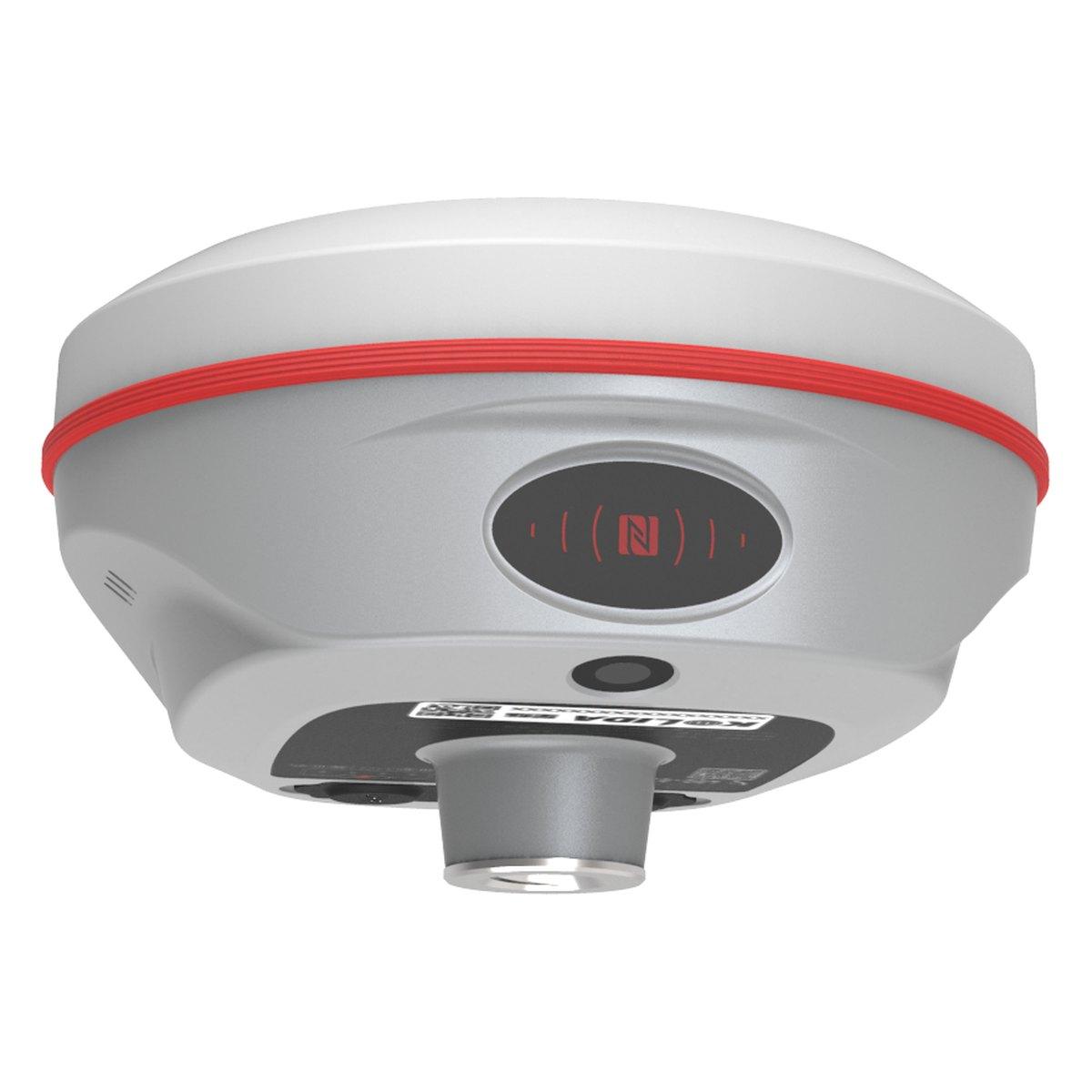 KolidaK6
Kolida K6 GNSS RTK Receiver
1598 channels in an 800 gram housing, with a calibration free IMU that lets you tilt the pole up to sixty degrees and still hit two centimetres.
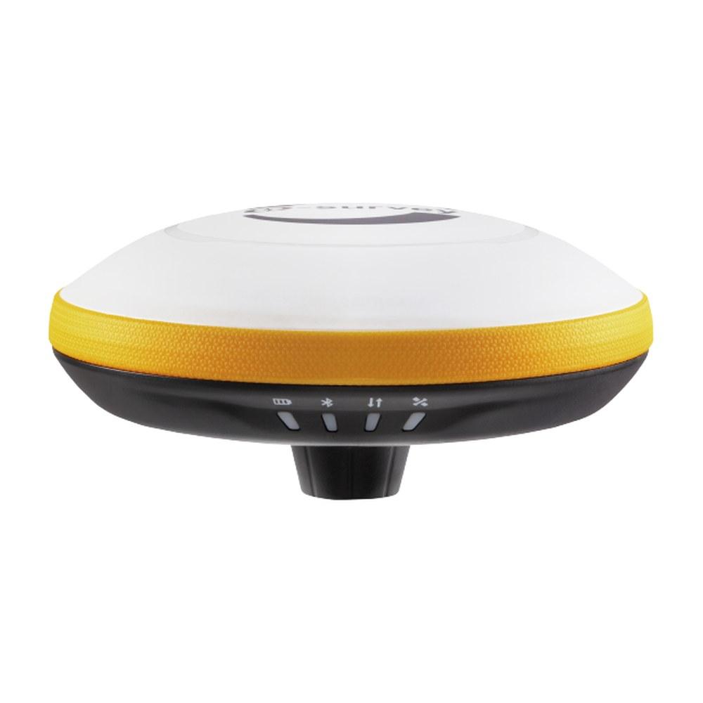 E-SurveyE300 Pro
E-Survey E300 Pro GNSS RTK Receiver
1408 channels in a 940 gram housing, with a 60 degree tilt IMU, a 2 W UHF radio and up to 24 hours on one battery as a rover.
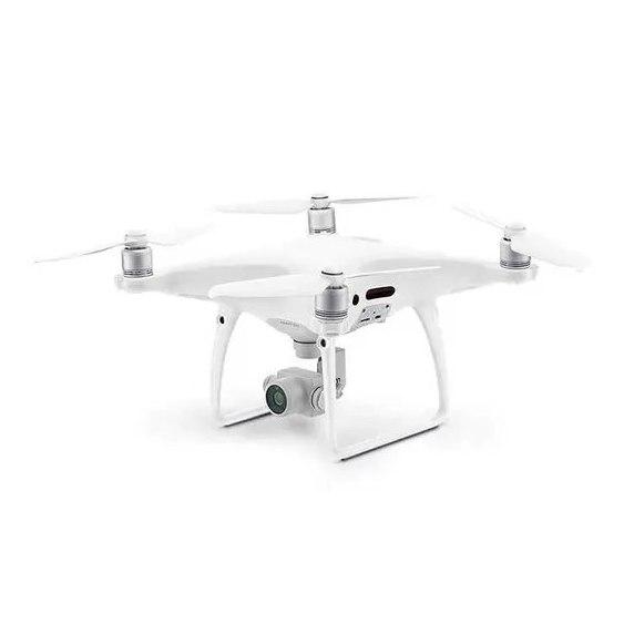
Survey & Mapping Drone
RTK mapping UAVs for orthomosaics, terrain models and volumetrics. We fly them ourselves, and we supply them.
FAQ
Questions buyers ask us
What is the price of a handheld GPS in Pakistan?
In 2026 an entry handheld such as the Garmin eTrex class costs about PKR 60,000 to 110,000, a mapping handheld in the GPSMAP class about PKR 130,000 to 250,000, and multi-band models more. Generic mapping units start lower. These are market ranges that move with the dollar; confirm today's price.
How accurate is a handheld GPS?
In open sky a modern multi-constellation handheld is accurate to about 3 to 5 metres, sometimes 2 metres on multi-band models. Under trees or between buildings it can wander 10 metres or more. That is fine for navigation and finding a site, not for boundaries or levels.
Can I use a handheld GPS for land survey?
For reconnaissance, rough area estimates and finding old pillars, yes. For a boundary, a plot layout, levels or anything a consultant or revenue officer will check, no. Those need a survey GNSS rover with RTK corrections, accurate to 1 to 2 cm.
Is a phone as good as a handheld GPS?
For accuracy they are similar, a few metres. A handheld wins on battery life, a screen readable in full sun, physical buttons with gloves, waterproofing and offline maps without mobile signal. For fieldwork in the northern areas or Balochistan the handheld is far more dependable.
Which is better, Garmin or a survey GNSS?
They do different jobs. A Garmin handheld navigates and records tracks to a few metres for under PKR 250,000. A survey GNSS rover with RTK measures to 1 to 2 cm and costs PKR 600,000 to 1,100,000 or more. Buy for the accuracy the job requires.