UTM coordinates give a position as an easting and a northing in metres within a numbered zone, and Pakistan spans three of them: 41N in the far west, 42N through Karachi, Quetta and Peshawar, and 43N through Islamabad, Rawalpindi and Lahore. Central Islamabad is roughly 320,000 m east and 3,730,000 m north in zone 43N.
Almost every GNSS and total station survey in Pakistan is delivered in UTM on the WGS 84 datum. Most coordinate mistakes we are asked to untangle at our counter come down to one of three things: the wrong zone, the wrong datum, or latitude and longitude typed in the wrong order. This guide covers all three.
What are UTM coordinates?
UTM, Universal Transverse Mercator, divides the world into 60 north-south strips, each 6 degrees of longitude wide, numbered 1 to 60 from 180 degrees west. Each strip is flattened onto its own grid in metres.
A UTM coordinate has four parts:
- Zone number, for example 43
- Hemisphere, N or S (all of Pakistan is N)
- Easting, metres from a false origin; the zone's central meridian is always 500,000 m
- Northing, metres north of the equator
So a point written as "43N 320500 E, 3729800 N" is fully defined. Without the zone, the same numbers describe a point in six different countries.
Which UTM zone is Pakistan in?
| Zone | Longitude | Central meridian | Main cities and areas | EPSG code (WGS 84) |
|---|---|---|---|---|
| 41N | 60 to 66 °E | 63 °E | Gwadar, Turbat, Panjgur, western Makran | 32641 |
| 42N | 66 to 72 °E | 69 °E | Karachi, Hyderabad, Quetta, Sukkur, Multan, Dera Ismail Khan, Peshawar | 32642 |
| 43N | 72 to 78 °E | 75 °E | Islamabad, Rawalpindi, Lahore, Faisalabad, Sialkot, Gujranwala, Gilgit | 32643 |
The 72 °E line runs close to some busy areas. It passes between Nowshera and Mardan, and between Mianwali and Sargodha, so Nowshera and Mianwali fall in 42N while Mardan, Jhang and Sargodha fall in 43N. Check the longitude of the site before you choose a zone; a project that straddles the line should be put entirely in one zone and the choice written on every drawing.
UTM vs latitude and longitude: which should you use?
Latitude and longitude are angles on the curved earth, in degrees. They are what your phone, Google Maps and a handheld GPS show. Distances and areas are awkward to calculate from them.
UTM is a flat grid in metres. Subtract two eastings and you have a distance. Multiply and you have an area. That is why CAD drawings, housing society layouts and road plans in Pakistan use UTM.
A useful habit: when you send a location to a site team, send both. The latitude and longitude let the driver find it on Google Maps; the UTM coordinate lets the surveyor set up on it without converting anything.
Use latitude and longitude for sharing a location, for example on WhatsApp. Use UTM for anything you will measure, design or set out.
How do I convert UTM to WGS 84 latitude and longitude?
Three reliable ways:
- On the GNSS controller. Every survey receiver we supply converts in both directions once the coordinate system is set to WGS 84 and the correct UTM zone.
- In QGIS, which is free. Load the points with EPSG 32642 or 32643 and reproject to EPSG 4326.
- An online converter, for one or two points. Enter easting, northing, zone and N.
When typing decimal degrees, Pakistan's latitude is always the smaller number (about 24 to 37) and longitude the larger (about 61 to 77). If your point lands in the Arabian Sea or in China, the two have been swapped.
Can I put UTM coordinates in Google Maps or Google Earth?
Google Maps: no. Convert to latitude and longitude first, then type them separated by a comma, latitude first.
Google Earth Pro: yes. Go to Tools, Options, 3D View, and under Show Lat/Long choose Universal Transverse Mercator. You can then read and enter UTM directly. Remember that Google imagery in Pakistan can be offset by a few metres from true position, so never set out from it.
How do you calculate area and distance from UTM?
Because UTM is in metres, the arithmetic is simple, which is the main reason surveyors use it.
Distance between two points is the square root of the difference in eastings squared plus the difference in northings squared. Point A at 320,500 E, 3,729,800 N and point B at 320,560 E, 3,729,880 N are 60 m apart in easting and 80 m in northing, so 100 m apart.
Area of a plot is calculated from the corner coordinates in order around the boundary, using the shoelace method that every CAD package and survey controller applies automatically.
Converting to Pakistani units: one kanal is 20 marla, but the marla itself varies. With the 272.25 sq ft revenue marla, a kanal is 5,445 sq ft or about 506 square metres, and 8 kanal make one acre of about 4,047 square metres. Many housing societies use a 225 sq ft marla, which makes a kanal 4,500 sq ft or about 418 square metres. Always state which marla an area figure uses.
UTM distances are grid distances, not ground distances. Near a zone's central meridian the grid is about 4 cm per 100 m shorter than the ground; towards the zone edges it becomes slightly longer. Add a correction for height above sea level, which matters in Murree or Quetta. Over a single plot this is negligible; on long roads, pipelines and transmission lines the combined scale factor should be applied, which survey software does when set up properly.
The datum problem with old Pakistani maps
UTM is a projection. It sits on a datum, which defines the shape and position of the earth model. Modern GNSS works in WGS 84. A lot of older Survey of Pakistan sheets, irrigation drawings and revenue records were made on the Everest spheroid with the Kalianpur datum.
The same physical point can sit tens of metres, sometimes more than a hundred metres, apart between the two systems. Drawing a new GNSS boundary on top of an old drawing without a proper transformation is how plots end up "overlapping" neighbours on paper.
The rule we give every customer: before you combine any two sets of coordinates, write down the datum, projection and zone of each. If either is unknown, measure two or three common points in the field and compare before trusting the old data.
Setting up your instrument for UTM
On a GNSS controller or a total station with coordinate output:
- Datum: WGS 84
- Projection: UTM
- Zone: 42N or 43N for most of Pakistan, 41N in the far west
- Units: metres
- Height: ellipsoidal from GNSS, or orthometric if you have a geoid model or local benchmark; state which
Our GNSS base and rover setup guide walks through the rest of the setup, and GPS survey in Pakistan covers what the coordinate list should say.
What we supply
Every GNSS receiver and total station we sell is set up for UTM on WGS 84 before it leaves the shop, with the zone for your area:
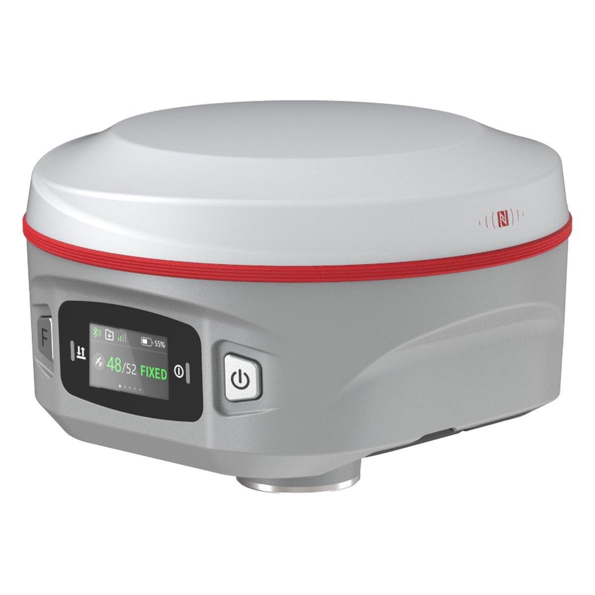
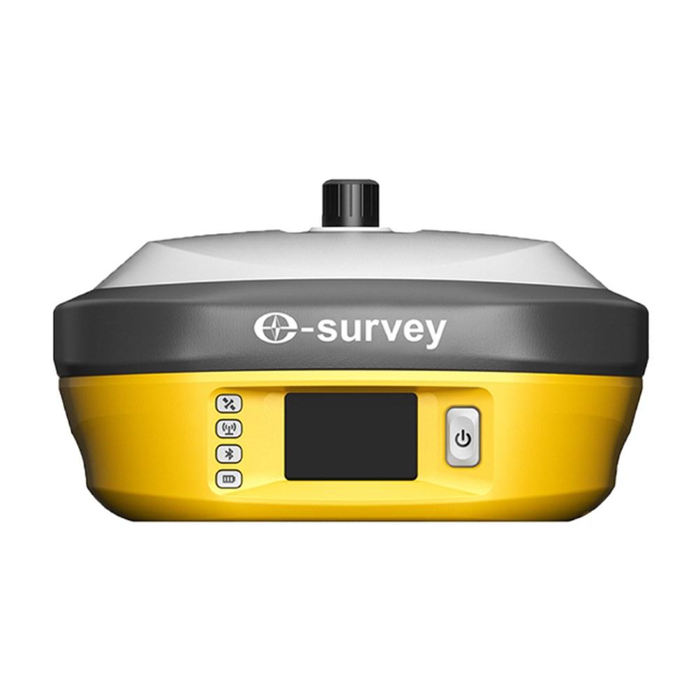
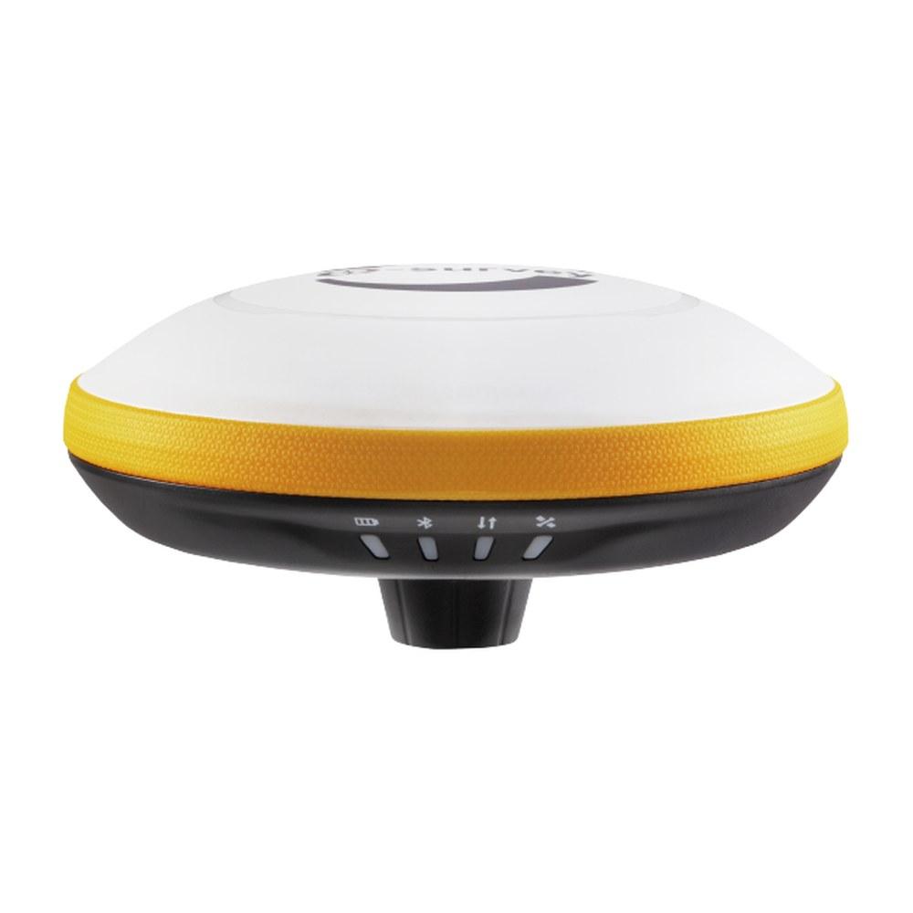
- E-Survey E300 Pro and Kolida K6 GNSS rovers
- Kolida KTS-442P total station, PKR 500,000 for the complete set
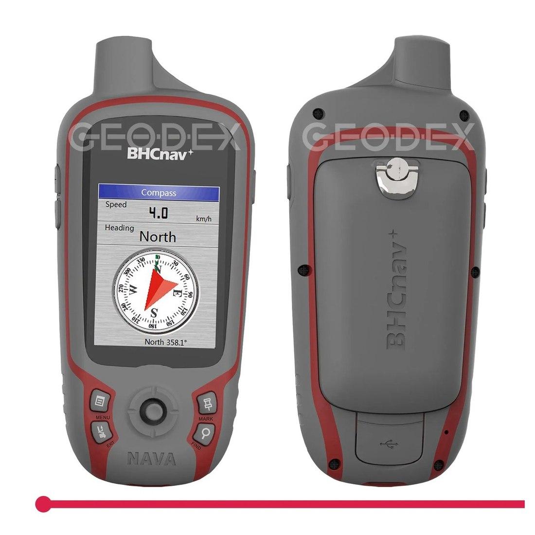
- Handheld GPS receiver for reconnaissance
- The range under GPS and GNSS systems
Background reading: GNSS vs GPS and what is RTK GPS.
Ask for today's price
If you have coordinates that will not line up, send us a sample with whatever you know about where they came from and we will tell you what system they are probably in. For instruments, send us a WhatsApp for today's price.
What we supply
Equipment covered in this guide
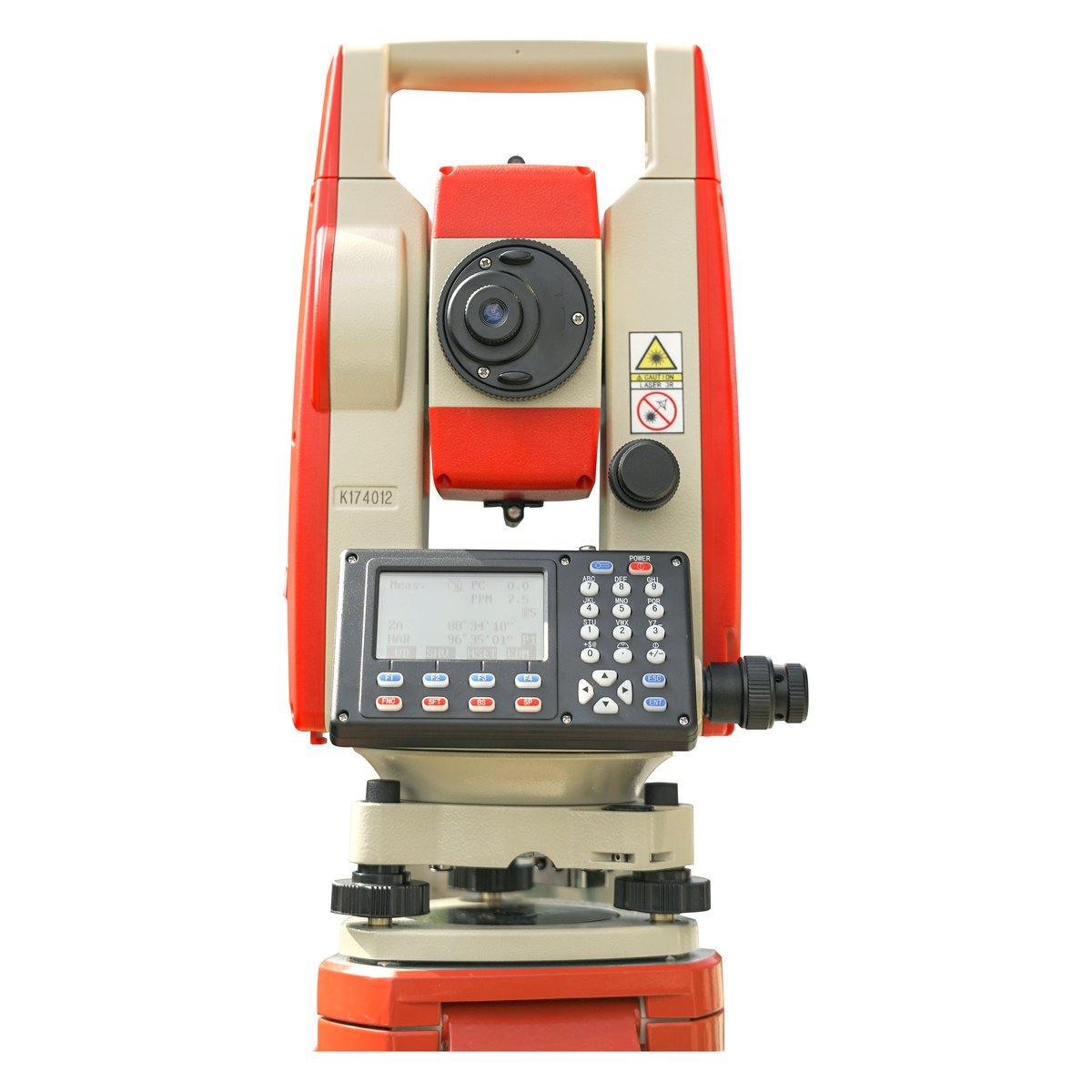 KolidaKTS-442P
Kolida KTS-442P Total Station
The workhorse of our survey counter. Reflectorless measurement, a rugged field build and a hard carry case that survives the back of a pickup.
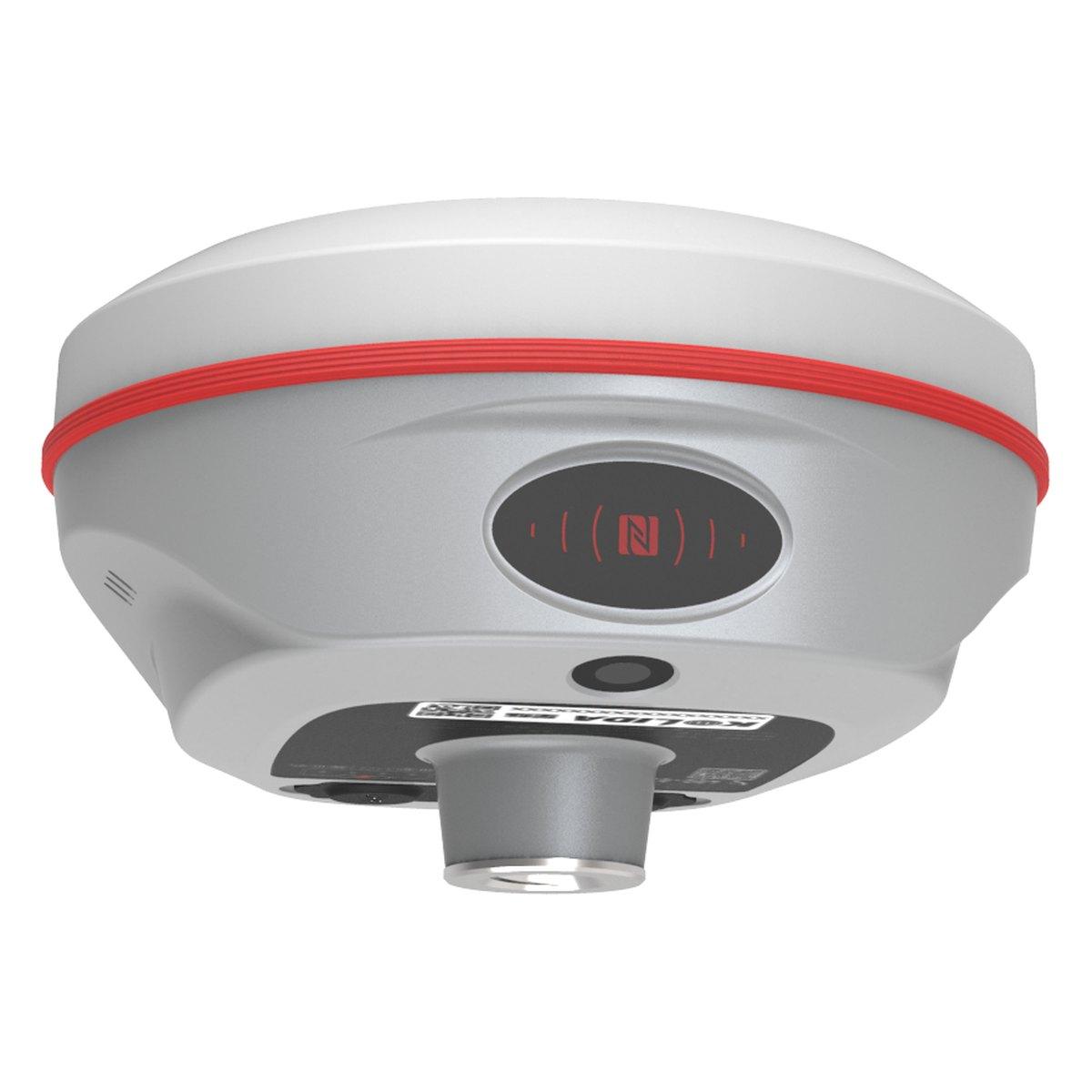 KolidaK6
Kolida K6 GNSS RTK Receiver
1598 channels in an 800 gram housing, with a calibration free IMU that lets you tilt the pole up to sixty degrees and still hit two centimetres.
E-SurveyE300 ProE-Survey E300 Pro GNSS RTK Receiver
1408 channels in a 940 gram housing, with a 60 degree tilt IMU, a 2 W UHF radio and up to 24 hours on one battery as a rover.
FAQ
Questions buyers ask us
Which UTM zone is Pakistan in?
Pakistan spans three UTM zones. Zone 41N covers the far west, 60 to 66 degrees east, including Gwadar and Turbat. Zone 42N covers 66 to 72 degrees east, including Karachi, Quetta, Peshawar and Multan. Zone 43N covers 72 to 78 degrees east, including Islamabad, Rawalpindi, Lahore and Faisalabad.
What is the difference between UTM and latitude and longitude?
Latitude and longitude give position in degrees on the curved earth. UTM flattens each 6 degree strip onto a grid and gives position in metres: an easting and a northing. Metres make distances and areas easy to calculate, which is why drawings in Pakistan use UTM.
How do I convert UTM to WGS 84 latitude and longitude?
Use the controller of your GNSS receiver, a GIS package such as QGIS, or a reliable online converter. Enter the easting, northing, zone number and hemisphere (N for all of Pakistan). Getting the zone wrong moves the point hundreds of kilometres, so state it every time.
Can I put UTM coordinates in Google Maps?
Google Maps accepts latitude and longitude, not UTM. Convert first, then paste the decimal degrees, for example 33.6844, 73.0479. Google Earth Pro can display and enter UTM directly once you set Tools, Options, 3D View, Show Lat/Long to Universal Transverse Mercator.
What are typical UTM coordinates for Islamabad?
Central Islamabad sits in zone 43N at roughly 320,000 m easting and 3,730,000 m northing. Eastings in zone 43N under 500,000 m mean the point is west of the zone's 75 degree central meridian, which is true for the twin cities.
Why do my survey points not match old maps?
Older Pakistani maps and revenue records often use the Everest spheroid and the Kalianpur datum, not WGS 84. The same physical point can differ by tens to more than a hundred metres between them. Always ask which datum the old data used and transform properly rather than shifting by eye.