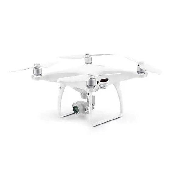
Drone survey in Pakistan costs, as an indicative 2026 market range, about PKR 3,000 to 6,000 per acre for a site of 25 to 100 acres, falling below PKR 2,000 per acre on large schemes. With proper ground control it delivers 3 to 5 cm horizontal accuracy, an orthomosaic, a terrain model, contours and volumes in days rather than weeks.
We fly survey and mapping drones on our own jobs from Rawalpindi and we supply the same aircraft, so this guide covers both sides: what a client should pay and expect, and what separates a survey you can design from a pretty photograph. It covers cost, ground control and RTK, accuracy, deliverables, the NOC, and when LiDAR is worth paying for.
How much does a drone survey cost in Pakistan?
Drone survey cost depends mostly on area, then on terrain, distance from base, the deliverables list and whether LiDAR is needed. Small sites carry a minimum charge because the crew, the GNSS set and the processing take the same setup whatever the size.
Indicative market ranges for photogrammetric drone topographic surveys in 2026, including ground control and standard deliverables. Confirm today's price on WhatsApp, rates move with the exchange rate.
| Site size | Typical project | Indicative market rate (PKR) | Per hectare equivalent (PKR) | Field and office time |
|---|---|---|---|---|
| Under 25 acres (200 kanal) | Factory plot, small scheme, farm | 100,000 to 250,000 lump sum | Lump sum | Half a day on site, 2 to 3 days office |
| 25 to 100 acres | Housing scheme phase, quarry | 3,000 to 6,000 per acre | 7,500 to 15,000 | 1 day on site, 3 to 5 days office |
| 100 to 500 acres | Full housing society, industrial estate | 1,500 to 3,500 per acre | 3,700 to 8,600 | 2 to 3 days on site, about 1 week office |
| Over 500 acres | Master planning, mining lease, dam reservoir | 800 to 2,000 per acre | 2,000 to 5,000 | 3 days and up, 1 to 2 weeks office |
| Corridor, 200 to 300 m wide | Road, canal, pipeline, transmission line | 20,000 to 50,000 per km | Per km | About 5 to 10 km a day on site |
| Repeat volume survey | Stockpile, borrow pit, progress | 40,000 to 120,000 per visit | Per visit | Half a day |
| LiDAR drone survey | Orchards, scrub, forested slopes | 2 to 3 times the photogrammetry rate | 2 to 3 times | Similar on site, longer processing |
One acre is 8 kanal and 0.405 hectares, which matters because Pakistani clients quote site size in kanal and drone operators quote in acres or hectares. Check the conversion before comparing two quotes.
What moves the price up: hilly or broken ground that needs more control points, sites more than a few hours from the crew, restricted airspace that adds permission time, and extra deliverables such as building outlines, a full feature survey in CAD or a 3D model. What moves it down: repeat visits to the same site, where the control is already on the ground, and large flat areas.
Compared with a ground crew, the crossover is around 20 to 30 acres of open ground, as we explain in our land survey services guide. Below that a ground crew with a total station is usually cheaper and more accurate.
Can you survey with a drone?
Yes. A survey drone flies a pre-planned grid, usually at 80 to 120 metres, taking photographs with 70 to 80 percent overlap. Photogrammetry software matches the photographs and builds a 3D model, which is then tied to real coordinates. That last step is what makes it a survey and not an aerial photograph.
There are three ways to tie it down:
- Ground control points (GCPs). Marked targets laid across the site and measured with an RTK GNSS receiver. Ten to fifteen on a typical 100 acre site, spread around the edges and through the middle.
- RTK drone. The aircraft receives corrections from a base or a network during flight, so each photograph is positioned to a few centimetres. Fewer GCPs are needed, typically four or five.
- PPK drone. The same idea, but the corrections are applied after the flight from a base station log. More robust where the radio link drops behind hills.
For engineering work we use RTK or PPK and still lay GCPs, plus independent check points that are not used in processing. Those check points are the only honest evidence of accuracy.
How accurate is a drone survey?
On open ground with good control, a drone survey routinely gives 3 to 5 cm horizontal and 5 to 10 cm vertical accuracy. The number that sets the limit is the ground sample distance, or GSD: the size of one image pixel on the ground. A 20 megapixel survey camera flown at 100 metres gives a GSD of roughly 2.5 to 3 cm. As a working rule, horizontal accuracy is 1 to 2 times the GSD and vertical accuracy 2 to 3 times.
That is enough for master planning, contours at 0.5 metre, cut and fill and stockpile volumes, and preliminary road design. It is not enough for final setting out, finished floor levels or drainage on flat ground with gradients of 1 in 500. Those still need a total station or an auto level on the ground.
The check nobody asks for. Without control around the whole boundary, a photogrammetric model can bow, rising or sinking towards the edges by 10 to 30 cm while the middle checks perfectly. The software report will still look clean, because it only reports error at the points it was given. Ask for the check point report, and make sure check points sit at the edges and at the highest and lowest ground, not only near the site office. On our own jobs in the Potohar, the edge of a site cut by nullahs is where this shows up first.
Pakistani conditions add two more limits. Summer haze and dust soften images after about 11 in the morning, and heat shimmer over bare ground degrades matching, so we fly early. Strong winds on ridges cut battery endurance, which matters on hill sites in Murree, Abbottabad and the Salt Range.
What deliverables should a drone survey give?
A complete photogrammetric drone survey should deliver:
- Orthomosaic: a georeferenced, distortion-corrected photo map at 2 to 5 cm per pixel, as GeoTIFF and as a compressed image for viewing.
- Digital surface model (DSM): heights of everything visible, including buildings and trees.
- Digital terrain model (DTM): the bare ground with buildings and vegetation removed, the surface engineers design on.
- Contours: usually at 0.5 or 1 metre, in DWG or DXF.
- Point cloud: in LAS or LAZ, for anyone who wants to model further.
- Volumes: stockpile, cut and fill against a design level, or change between two flights.
- CAD drawing: roads, boundaries, buildings and features drafted from the orthomosaic.
- Control and check point report: coordinates, the residuals and the coordinate system, normally UTM zone 42 or 43 on WGS84 in Pakistan.
Write the list into the order with file formats and the contour interval. Most disputes over drone surveys in Pakistan are not about accuracy but about a client expecting a drafted CAD drawing and receiving only an orthomosaic. Where the model goes further into a building or asset model, see our digital twin and BIM service.
Is it illegal to fly drones in Pakistan?
It is not illegal to fly a survey drone in Pakistan, but commercial flying is regulated and permission is required. Drone operations fall under the civil aviation authority's rules, and flights also need security clearance, usually described on site as an NOC, from the relevant federal or district authorities. Airspace around airports, cantonments, military and government installations, and central Islamabad is restricted.
In practice, almost every survey flight in and around Rawalpindi and Islamabad needs an NOC, and the process can take weeks rather than days. Importing a drone also requires clearance. The rules have changed more than once in recent years, so check the current requirements at the time of the job rather than relying on an old answer. A survey company should name who handles the permission, include it in the programme, and carry the paperwork on site. We handle it as part of our own drone jobs.
LiDAR or photogrammetry under vegetation?
Photogrammetry measures only what the camera can see. Over orchards, dense scrub, sugarcane or a forested slope, it measures the top of the canopy and the terrain model is wrong by the height of the vegetation, often a metre or more. Filtering helps only where there are clear gaps.
A LiDAR drone fires laser pulses, and part of each pulse passes through gaps in the leaves and returns from the ground. That gives a usable terrain model within about 5 to 10 cm under moderate cover. It costs two to three times as much and the aircraft is far more expensive, so use it where the ground is hidden: hill roads in Khyber Pakhtunkhwa, orchards in the Potohar, and reservoir slopes. On bare earthworks, quarries, stockpiles and cleared housing schemes, photogrammetry is as accurate and much cheaper.
For small areas under trees or inside structures, a handheld scanner is often the better answer than either. The Kolida SLAM RTK ME combines a Livox Mid-360 scanner with a 1698 channel RTK receiver, so a surveyor walks the site and gets a point cloud at 3 to 5 cm absolute accuracy outdoors.
What we supply
We run drone survey and topographic survey jobs from Rawalpindi across Pakistan, and sell the equipment our crews use.
- Survey and mapping drone: the RTK mapping UAV we fly ourselves, for orthomosaics, terrain models and volumes.
- Kolida SLAM RTK ME: RTK rover and 3D laser scanner in one handheld unit, for ground under trees.
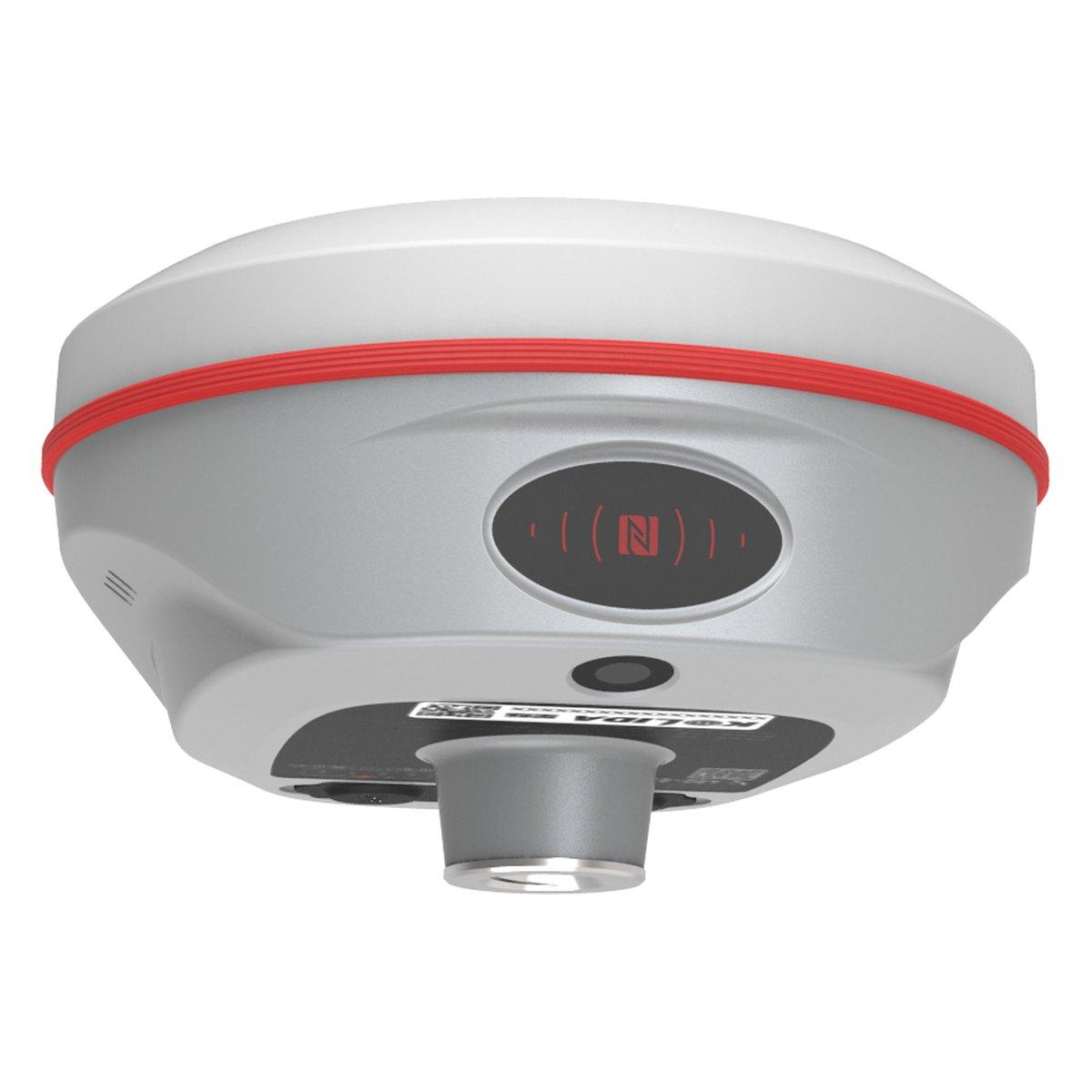
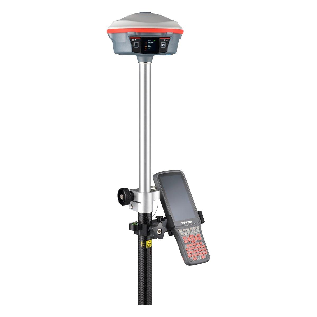
- Kolida K30 Pro GNSS receiver and Kolida K6 GNSS receiver: for measuring ground control and check points.
- Kolida KOOL handheld 3D laser scanner: for interiors and places with no satellite signal.
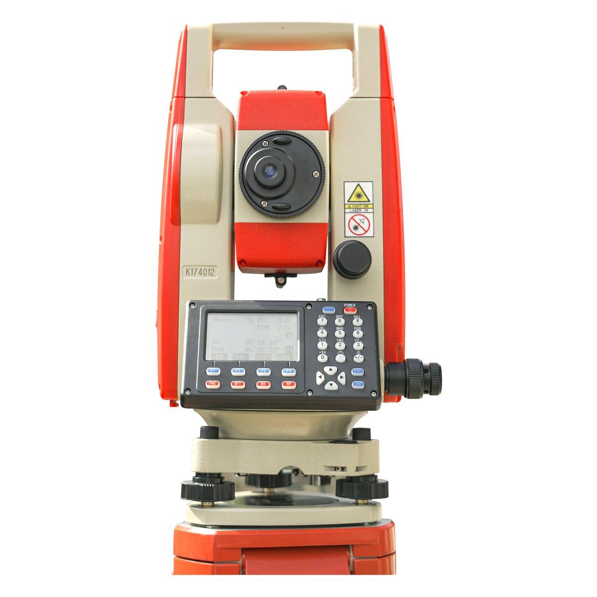
- Kolida KTS-442P total station: for the critical levels and setting out a drone cannot give, PKR 500,000 complete set.
Browse the full range under GPS and GNSS systems. For the GNSS side, read RTK GPS and GNSS receiver price in Pakistan, and for every other instrument a crew carries, our complete list of surveying instruments.
Ask for today's price
Send us the site boundary as a KML file or a Google Maps pin, the area in acres or kanal, what the survey is for and the deliverables the consultant wants. We will reply with a rate, a programme including the NOC, and a written deliverables list. Send us a WhatsApp during business hours.
What we supply
Equipment covered in this guide
 KolidaKTS-442P
Kolida KTS-442P Total Station
The workhorse of our survey counter. Reflectorless measurement, a rugged field build and a hard carry case that survives the back of a pickup.
 KolidaK6
Kolida K6 GNSS RTK Receiver
1598 channels in an 800 gram housing, with a calibration free IMU that lets you tilt the pole up to sixty degrees and still hit two centimetres.
 KolidaK30 Pro
Kolida K30 Pro GNSS RTK Receiver
A three watt radio that reaches ten to fifteen kilometres, and Star-Link correction for the sites where there is no base and no network.
FAQ
Questions buyers ask us
How much does a drone survey cost in Pakistan?
Indicative 2026 market rates run from a lump sum of about PKR 100,000 to 250,000 for a site under 25 acres, to PKR 3,000 to 6,000 per acre for 25 to 100 acres and PKR 800 to 2,000 per acre above 500 acres. LiDAR costs two to three times as much. Rates move with fuel, travel and the deliverables list.
How accurate is a drone survey?
With ground control points measured by RTK GNSS, a survey-grade drone flown at 80 to 120 metres routinely gives 3 to 5 cm horizontal and 5 to 10 cm vertical accuracy on open ground. That suits planning, contours and earthwork volumes. Under trees or crops, photogrammetry cannot see the ground and vertical error grows sharply.
Is it illegal to fly drones in Pakistan?
No, but it is regulated. Commercial flights need 2 kinds of permission, from the civil aviation authority and from the security authorities, and areas near airports, cantonments and government installations are restricted. Around Rawalpindi and Islamabad nearly every survey flight needs an NOC and lead times run into weeks, so a survey company should build it into the programme.
Do I still need ground control points with an RTK drone?
For engineering work, yes. An RTK or PPK drone positions each photo to a few centimetres, which cuts the number of control points from 10 to 15 down to 4 or 5, but independent check points are still needed to prove the accuracy. A survey without check points has no evidence that it is right.
What does a drone survey deliver?
A georeferenced orthomosaic at 2 to 5 cm per pixel, a digital surface model, a terrain model with vegetation and buildings removed, contours at 0.5 or 1 metre, a point cloud, stockpile or cut and fill volumes, and a CAD drawing. Agree the list, the formats and the coordinate system before the flight.
When is LiDAR better than photogrammetry?
Under vegetation. A LiDAR pulse passes through gaps in orchards, scrub and crops and returns from the ground, so the terrain model stays within about 5 to 10 cm where photogrammetry fails. On bare ground, earthworks and stockpiles, photogrammetry is as accurate and costs half to a third as much.