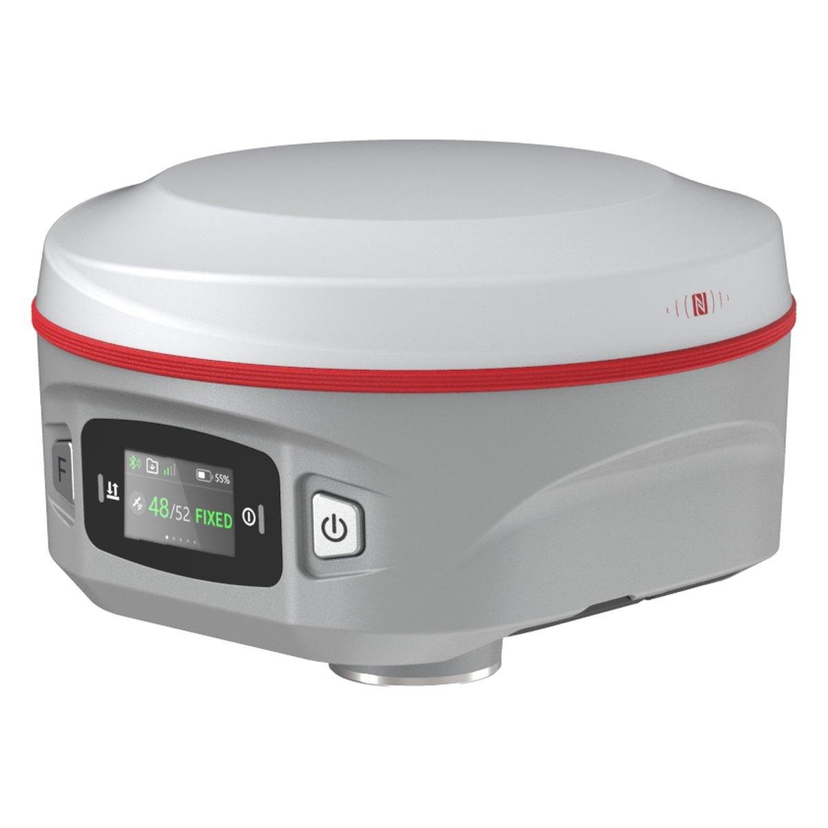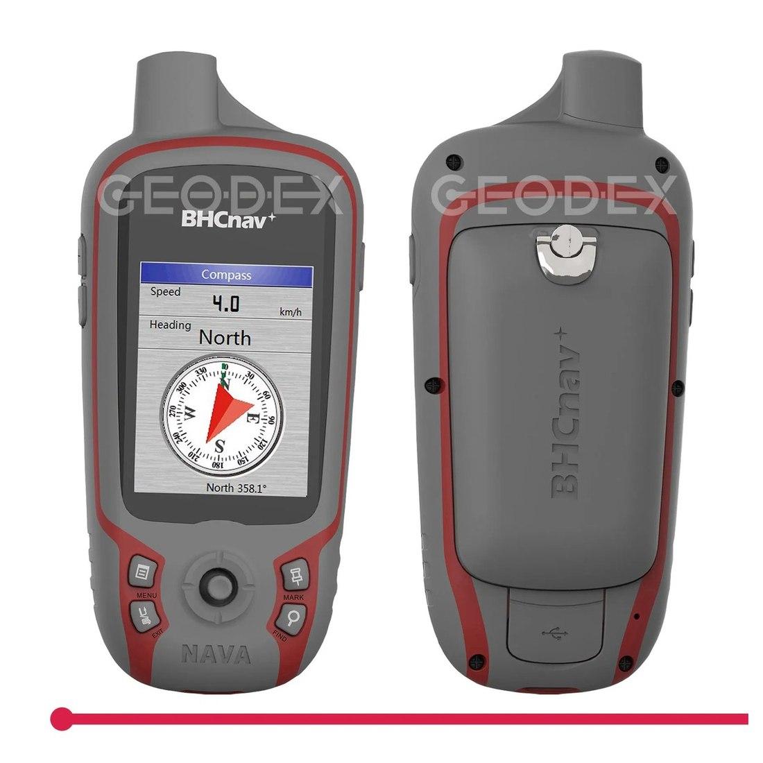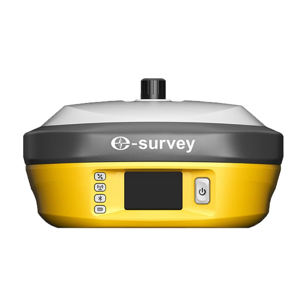
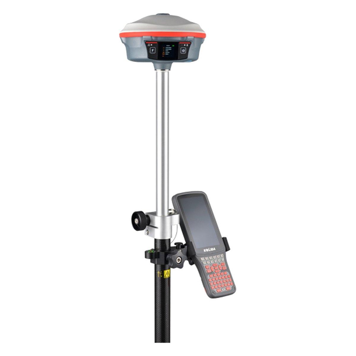
A GNSS base and rover setup pairs two survey receivers: the base sits on a tripod over a known point and broadcasts corrections by radio, and the rover uses them to fix points to about 1 to 2 cm. In Pakistan a Chinese-brand base and rover set with controller costs about PKR 1,200,000 to 2,500,000 in 2026.
It is the setup most Pakistani survey crews use, because it needs no mobile signal and no subscription. Done well, it takes ten minutes. Done carelessly, it produces a whole day of points that are precisely wrong. This guide is the procedure we teach at handover.
What is a GPS base and rover?
The base receiver stays still. Because it knows where it is, it can work out the errors in the satellite signals and broadcast them, usually over UHF radio.
The rover is carried on a pole to every point. It receives the corrections, resolves its position to a centimetre or two, and stores the point on a handheld controller.
The method is RTK; what is RTK GPS explains how it works.
How do you set up a GNSS base and rover, step by step?
Step 1: choose the base point
The base location decides the quality of the day. Look for:
- A known point: a control pillar, benchmark or a point fixed earlier by static survey. See DGPS survey for how control is established.
- Open sky above about 15 degrees all round.
- Height, for radio range: a mound, a roof edge or the highest corner of the site.
- Away from reflectors: metal sheds, water tanks, parked trucks, glass façades and high-voltage lines.
- Safe and stable: not on a road, not on soft fill, not where children or goats will knock the tripod.
Step 2: set up the tripod and measure the height
- Set the tripod firmly, legs pressed in, head roughly level.
- Centre the tribrach over the mark with the optical plummet and level it.
- Fit the base receiver and the radio antenna; raise the antenna on its pole for range.
- Measure the antenna height to the reference specified in the receiver manual, and record whether it is a vertical or slant measurement. Write it on paper as well.
A wrong base height moves every height on the job by the same amount. It is the commonest error we see in data brought back to our counter.
Step 3: start the base
On the controller, connect to the base and choose:
- Coordinate system: WGS 84, UTM, correct zone. Most of Pakistan is 42N or 43N; see UTM coordinates in Pakistan.
- Start from known point: enter or select the control coordinates. This is the right choice for boundaries and anything tied to a scheme.
- Correction format and radio channel: RTCM 3.x is standard. Pick a clear channel and note it.
An autonomous start (base uses its own standalone position) is possible but shifts the whole survey by 1 to 5 m. Use it only for an isolated plan you will shift onto control later.
Step 4: set up the rover and check a known point
- Mount the rover on the rover rod and bipod, set the pole height on the controller.
- Connect to the same radio channel. Wait for FIXED, not FLOAT.
- Measure a second known point that was not used for the base.
If it agrees within 2 to 3 cm in plan and height, work. If not, stop. The cause is almost always one of: wrong base coordinates, wrong base height, wrong pole height, or the wrong zone. This one reading is the best five minutes in surveying.
Step 5: localisation, when the client has a local grid
Many housing societies and older projects in Pakistan use a local grid, or coordinates from an old drawing that do not match WGS 84 UTM. A localisation (site calibration) fits your GNSS to that grid using at least three, better four or more, common points around the site.
Check the residuals the controller reports. Anything over 3 to 5 cm on a point means that point, or the old data, is suspect. Do not localise on two points; there is no way to detect a bad one.
Common field faults and what usually causes them
| Symptom | Usual cause | What to do |
|---|---|---|
| Rover shows "no corrections" | Different radio channel or protocol on base and rover, or radio antenna not fitted | Match channel and RTCM format on both; fit and raise the base antenna |
| Rover stuck in FLOAT | Blocked sky, multipath, or rover too far from base | Move a few metres into open sky, wait 30 seconds, check distance to base |
| Check point out by the same amount everywhere | Wrong base coordinates or wrong zone | Re-enter base point from the control sheet, confirm zone 42N or 43N |
| Heights all out by a fixed amount | Wrong base antenna height or rover pole height | Re-measure both, correct in the job settings |
| Corrections drop at the same spot every time | Radio shadow behind a mound, building or embankment | Raise the base or move it to higher ground |
| Battery dies by early afternoon | Summer heat, old cells, radio at full power | Shade the base, carry spares, use the lowest radio power that reaches |
Most of these are found in the first ten minutes if the known-point check in step 4 is done. Crews that skip it find them at the office, after the site is closed.
Radio range and how to get more
| Setup | Typical range in Pakistan | Notes |
|---|---|---|
| Internal UHF, base on tripod | 3 to 5 km open, 1 to 2 km built-up | Enough for most plots and schemes |
| Internal UHF, base raised on mast or roof | 5 to 8 km | Height matters more than power |
| 3 to 5 W radio (Kolida K30 Pro, E-Survey E800) | 8 to 15 km | Roads, canals, large schemes |
| Network RTK over 4G | Unlimited where coverage holds | Needs a CORS service and signal |
Accuracy also falls by about 1 mm per km, so for control keep baselines under 10 km even if the radio reaches further.
Base and rover or network rover?
Network RTK lets one rover take corrections from a permanent CORS network over the internet, with no base. It is attractive: one receiver, no tripod to guard.
In Pakistan, coverage is concentrated around the larger cities and specific projects. A contractor working in Attock one week and Thatta the next will find gaps. Our advice: buy a base and rover unless you have tested the network at your own sites, on several days, and it fixed every time. Many crews own both a base and a 4G-capable rover and use whichever works on the day.
What does a base and rover set cost?
Indicative 2026 market ranges:
- Kolida K30 Pro base with K6 or K9s rover, controller: PKR 1,500,000 to 2,500,000
- E-Survey E800 base with E300 Pro rover, controller: PKR 1,500,000 to 2,500,000
- Single network rover (Kolida K6, E-Survey E300 Pro): PKR 600,000 to 1,100,000
- Sokkia GRX1 pair: PKR 2,500,000 to 3,500,000
Prices follow the exchange rate; confirm today's price on WhatsApp. Model detail is in Kolida GNSS receiver price and E-Survey GNSS receiver price.
What we supply
Every set we sell is configured for your zone and handed over with a field session covering this procedure:
- Kolida K30 Pro base, K6 and K9s rovers
- E-Survey E800 base and E300 Pro rover
- Tripods, tribrachs and poles under tools and accessories
- All receivers under GPS and GNSS systems
Ask for today's price
Tell us where your sites are, how large they get and whether there is 4G there. We will price a base and rover set, or a single rover if the network suits you. Send us a WhatsApp for today's price.
What we supply
Equipment covered in this guide
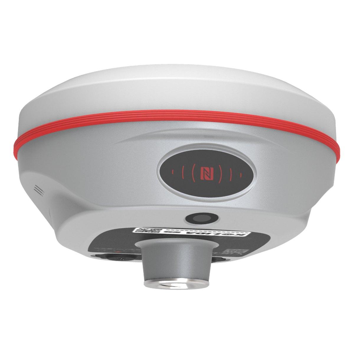 KolidaK6
Kolida K6 GNSS RTK Receiver
1598 channels in an 800 gram housing, with a calibration free IMU that lets you tilt the pole up to sixty degrees and still hit two centimetres.
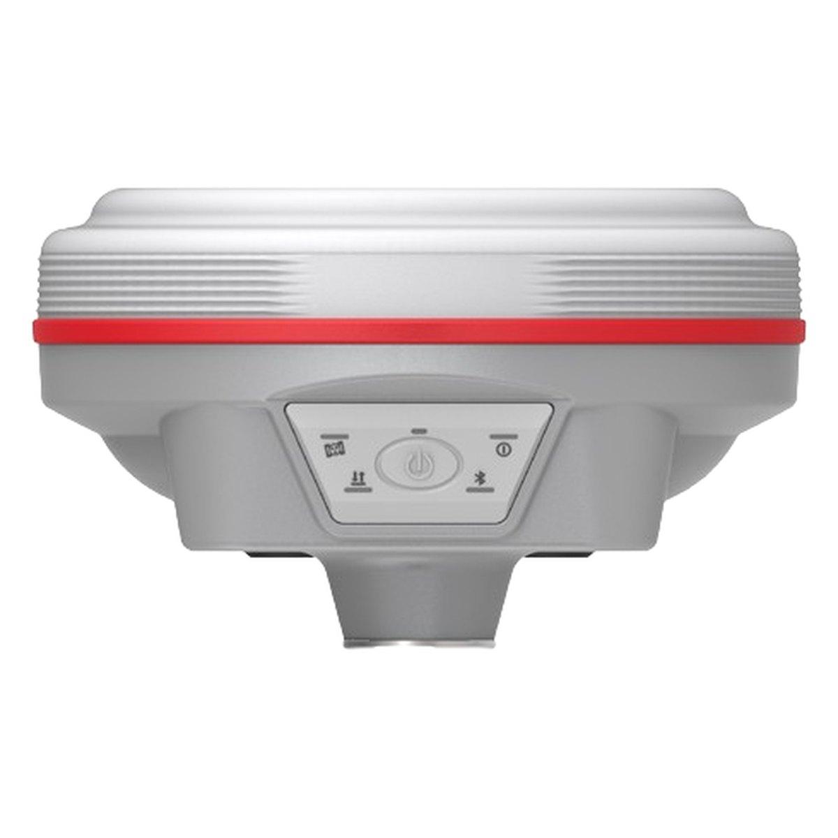 KolidaK9s
Kolida K9s GNSS RTK Receiver
1698 channels, 790 grams and twenty five hours in rover mode. The long day receiver.
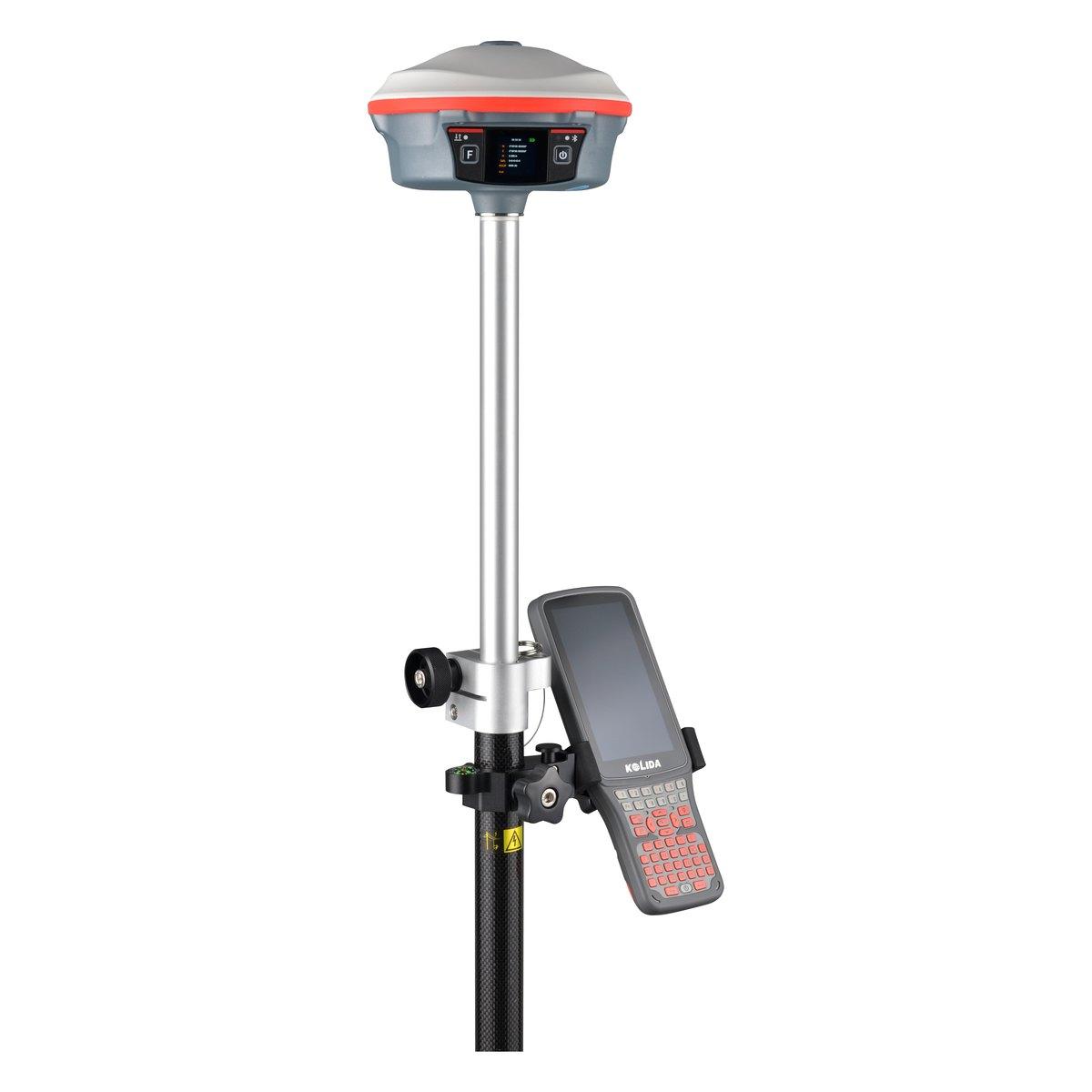 KolidaK30 Pro
Kolida K30 Pro GNSS RTK Receiver
A three watt radio that reaches ten to fifteen kilometres, and Star-Link correction for the sites where there is no base and no network.
FAQ
Questions buyers ask us
What is a GPS base and rover?
Two survey GNSS receivers working as a pair. The base stays still on a tripod over a point and broadcasts corrections by radio. The rover is carried on a pole to each point and uses those corrections to fix its position to about 1 to 2 cm in real time.
How much does a base and rover GPS cost in Pakistan?
In 2026 a Chinese-brand base and rover set with controller costs about PKR 1,200,000 to 2,500,000, for example a Kolida K30 Pro base with a K6 rover. A Sokkia GRX1 pair runs PKR 2,500,000 to 3,500,000. These are market ranges; confirm today's price on WhatsApp.
What is a GPS rover?
The rover is the receiver that moves. It sits on a 2 m pole with a bubble or an IMU tilt sensor, takes corrections from a base or a CORS network, and records each point on a handheld controller. Most of the survey is done with it.
Should I buy a base and rover or a network rover?
Buy a base and rover if you work outside the big cities, on sites without dependable 4G, or across several districts. Buy a single network rover only if you have tested a CORS service at your actual sites and it fixes reliably. In Pakistan most buyers need the base.
How far can the rover go from the base?
With an internal UHF radio, plan for 3 to 5 km in open ground and less among buildings. Raising the base antenna and using a 3 to 5 W radio stretches that to 8 to 15 km. Keep RTK baselines under 10 km for the best accuracy.
Can I set up the base on an unknown point?
Yes, as an autonomous start, but the whole survey will then be offset by the base's standalone error of 1 to 5 m. That is acceptable for an isolated topographic plan if you later shift it onto control, and never acceptable for boundaries. Set up on a known point whenever one exists.