Underground water level in Islamabad ranges from roughly 15 m below ground near the lakes and valleys to well over 100 m on higher ground, and in Rawalpindi many bores now pump from beyond 100 m. The table is still falling, which is why bores that worked ten years ago go dry.
If you are drilling a new bore, buying a plot or watching an existing well weaken, the useful question is not "what is the water table in Islamabad" but "what is it under my plot, and how fast is it moving". This guide covers both, and how to measure your own well rather than relying on rumour.
How deep is the water table in Islamabad?
There is no single number, because the ground under the capital changes over short distances. A peer-reviewed GIS study of Islamabad published in 2022 mapped groundwater depth across the study area from 15 m to 132 m. Other reporting on the city has put typical depths in the twenties of metres in some sectors and far deeper in others.
The pattern follows the ground:
- Shallower near Rawal Lake, along the Korang and Soan and their tributaries, and in low-lying areas where clay holds perched water.
- Deeper on the ridges, in the Margalla foothills, and in many of the newer sectors and private housing schemes on higher ground to the south and west.
Even within one society, two bores 300 m apart can find water at very different depths, because water in the Pothohar sits in fractured rock and gravel channels rather than a uniform sheet.
What is the water table in Rawalpindi?
Rawalpindi faces the same problem with more pressure on it. Older city areas relied on shallow wells and bores decades ago; many now draw from much deeper. Recent press coverage of the twin cities has reported falls of roughly one to three feet a year, dry bores in housing societies on the Rawalpindi side, and residents depending on tankers through the summer.
What we see at our Rawalpindi counter matches that: drillers and society maintenance teams buying longer water level meters and deeper-rated detectors than they did five years ago.
Why is the water table falling?
Two things are happening at once.
More water out. Every new society, plaza and factory sinks its own bore. Individually each is small; together they draw far more than the aquifer receives.
Less water in. Recharge in the Pothohar comes mainly from monsoon rain soaking through soil and nullah beds. Roads, roofs and paved courtyards shed that water into drains instead. The Capital Development Authority's recharge well programme is a response to exactly this.
The result is a cone of depression that deepens and widens each year around the most heavily pumped areas.
How deep should you bore by area?
These are working guidelines, not guarantees. Always ask local drillers and neighbours what depth their working bores reached and where the pump is set.
| Area type | What we commonly hear from drillers | Recommendation |
|---|---|---|
| Near lakes, nullahs and valley floors | Water found at moderate depth | Still drill past the first water; shallow layers fail first |
| Established central sectors | Mixed; depends heavily on the plot | Measure neighbouring bores before deciding |
| Ridges, foothills, new southern and western schemes | Deep bores beyond 100 m common | Survey first; budget for depth |
| Rawalpindi societies on higher ground | Deep and falling | Survey first, plan for the level ten years out |
A resistivity survey before drilling shows where water-bearing fractures are and how deep, which is far cheaper than a dry bore.
How do I find groundwater levels in my area?
There is no public live map for individual plots. The practical sources are:
- Neighbours' bores. The best data you will get. Ask the depth drilled, where the pump hangs, and whether it has been lowered.
- Local drillers. They know which streets hit water at what depth, and which went dry last summer.
- Society maintenance offices. Larger societies keep records of their community tube wells.
- Your own measurement. If you have a bore, measure it.
How to measure the water level in your own bore
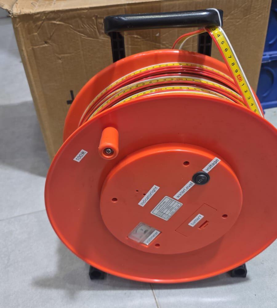
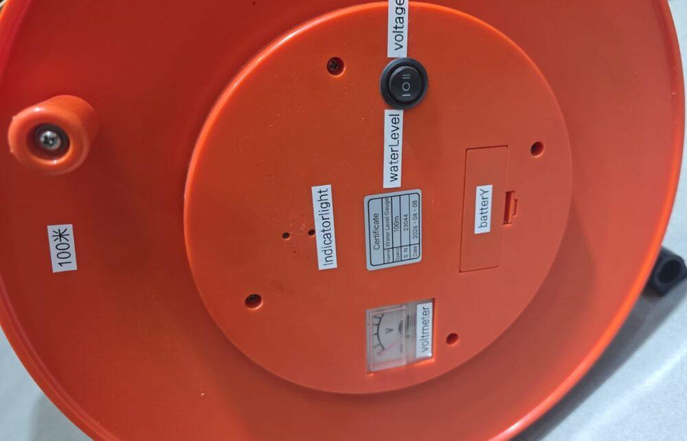
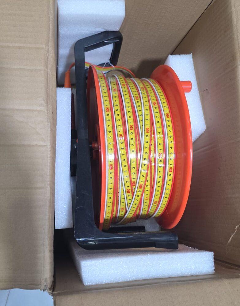
You need a water level meter long enough to reach the water, and access into the well casing: either a gap beside the pump riser or, better, a 25 mm access pipe installed alongside the riser when the pump was fitted.
- Switch the pump off and leave it off for at least four to six hours, ideally overnight.
- Lower the probe down the access pipe until the light comes on.
- Lift slightly, lower slowly, and read the tape at the top of the casing.
- Write down the depth and the date.
That is your static water level. Then switch the pump on, wait an hour and measure again: that is the pumping level, and the difference is the drawdown. Our guide to static water level vs pumping water level explains what the numbers mean for the pump.
The yearly reading that saves a bore
Measure the static level in the same month every year, preferably in May before the monsoon, when levels are at their lowest. Two or three years of readings tell you how fast your bore is falling, and how many years remain before the water drops below the pump. Lowering the pump in good time costs a fraction of a new bore drilled in an emergency in June.
What a falling water table costs a household
The decline is slow enough to ignore until it suddenly is not. A typical sequence we hear from customers in the twin cities runs like this.
First, the bore gives slightly less water each summer, and the pump runs longer to fill the tank. The electricity bill rises, but nobody connects it to the water level. Then, one June, the pump starts cutting out or drawing air in the afternoon. The pump is pulled and found to be fine. It is lowered by a few lengths of pipe if the bore is deep enough, which buys a few more years. When there is no more room below the pump, the choice is between deepening the bore, if the casing allows it, or drilling a new one, usually deeper than the first, with a survey this time.
At every step, a measurement would have helped. Knowing the static level fell by a metre a year, the household could have lowered the pump in winter instead of in an emergency in June, budgeted for a new bore two years ahead, and avoided buying a replacement pump that was never the problem.
For a society running several community tube wells, the same logic applies at a larger scale. A monthly reading in each well, kept in one register, turns a crisis every summer into a planned programme of pump lowering and new bores. Our guide to groundwater level monitoring sets out a routine that a maintenance team can run with one meter.
Recharge helps too. Rooftop rainwater led into a recharge pit or an old dry bore, rather than into the drain, returns some of the monsoon to the ground. It will not reverse the regional decline on its own, but it slows the fall around the plot that does it.
What we supply
- Water level meter, 50 m and 100 m: for measuring your own bore or a society's tube wells.
- TC series water detector: to site a new bore before drilling.
- Borehole inspection camera: to see why a bore has weakened.
- Submersible pumps sized for deeper pumping levels.
Our underground water detection survey team works across Islamabad, Rawalpindi and the Pothohar. For the depth question in more detail, see tube well depth in Pakistan.
Ask for today's price
Send us your sector or society and what you need: a meter to measure, a survey before drilling, or both. Send us a WhatsApp for today's price.
What we supply
Equipment covered in this guide
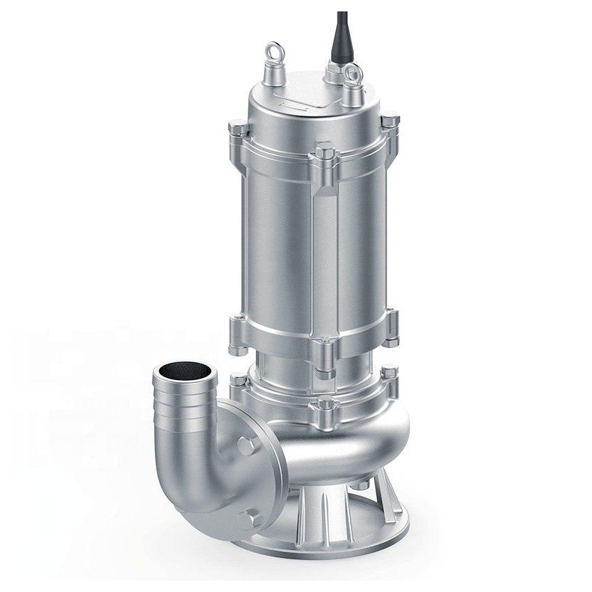
Submersible Pump
Electric submersibles for clean and dirty water, in the sizes a site actually keeps on the shelf.
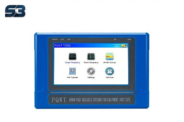 TC150 / TC300 / TC500
TC Series Water Detector
The range most of our borehole siting work is done with. Walk the profile, read the section, mark the position and the depth to drill to.
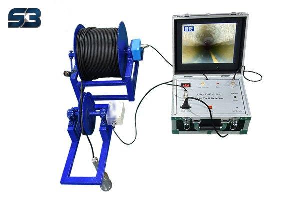 200 m borehole camera
Borehole Inspection Camera, 200 m
Two hundred metres of waterproof cable and a camera that looks sideways as well as down. Stops a borehole dispute becoming an argument.
FAQ
Questions buyers ask us
How deep is the underground water level in Islamabad?
It varies widely by area. Published studies of Islamabad report depths to groundwater from about 15 m to well over 100 m, shallower near Rawal Lake and the Korang and Soan valleys and much deeper on the ridges and in the newer sectors. Only a measurement in a nearby well tells you the level at your plot.
Why is the water table falling in Rawalpindi and Islamabad?
Pumping exceeds recharge. Thousands of private bores in housing societies draw water every day, while paving and construction stop monsoon rain from soaking in. Press reports put the decline at roughly one to three feet a year in parts of the twin cities, which is why old bores keep drying up.
How deep should I bore in Rawalpindi?
Ask what depth working bores within a few hundred metres reached and where their pumps are set, then go deeper rather than shallower, because the table is still falling. Many bores in Rawalpindi and Islamabad societies now go beyond 100 m. A resistivity survey before drilling reduces the risk of a dry hole.
How can I check the underground water level in my own bore?
Switch the pump off for several hours, then lower a water level meter down the access pipe until it triggers and read the tape at the top of the casing. That is the static level. Do it on the same date each year and you have your own record of how fast the table is falling.
Is Islamabad groundwater hard?
Much of it is moderately hard, because it moves through limestone and calcareous gravels in the Margalla foothills and Pothohar. That hardness causes scale in geysers and pump impellers. Water quality varies by bore, so test a sample for TDS and hardness rather than relying on a neighbour's result.