
Kolida
Kolida K50 & K50X GNSS RTK Receiver
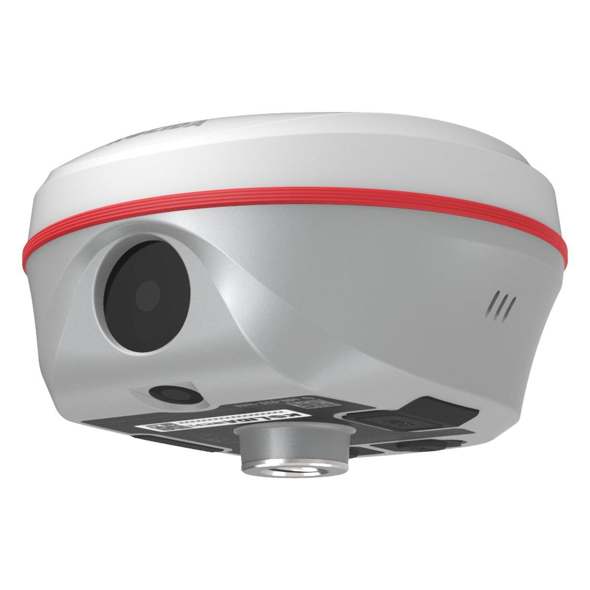
Two cameras, an electronic bubble on the controller and a UHF link that holds out to fifteen kilometres in clear conditions.
Model K50 / K50X
Kolida K50 & K50X GNSS RTK Receiver
The 8 MP forward camera is not a gimmick: it puts a photograph against the point so an office checker can see what the surveyor was standing on. The bottom camera helps with centring, and the controller draws a live bubble so nobody has to crouch.
- IMU
- Tilt 0 to 60 degrees
- Radio
- 410 to 470 MHz, 12 to 15 km in optimal conditions
- Weight
- 860 g with battery
- Cameras
- Front 8 MP, bottom 2 MP
- Storage
- 16 GB SSD, external USB via OTG
- Channels
- 1698
- Protection
- IP68
- GNSS static
- Horizontal 2.5 mm + 0.5 ppm, vertical 3.5 mm + 0.5 ppm RMS
- RTK vertical
- 15 mm + 0.5 ppm RMS
- Initialisation
- Under 10 s, reliability over 99.99%
- Static accuracy
- Horizontal 2.5 mm + 0.1 ppm RMS (long observation)
- SBAS positioning
- Typically under 5 m 3DRMS
Currently in stock
Read before you buy
Buyer guides and price checks
- Survey ServicesLand Survey Services in Pakistan: Topographic, Drone and GeotechnicalWhat topographic, drone, geotechnical, geophysical and water detection surveys deliver in Pakistan, how a drone survey compares with a ground crew, which survey each project needs, and what to ask a survey company.Read the guide
- GNSS / RTK GPSRTK GPS and GNSS Receiver Price in PakistanGNSS RTK receiver prices in Pakistan for 2026 from entry rover to Sokkia, base and rover versus network RTK, accuracy limits, controllers, batteries, heat and the support that matters.Read the guide
- Drone & LiDAR SurveyDrone Survey in Pakistan: Cost, Accuracy and DeliverablesDrone survey cost in Pakistan per acre in 2026, the accuracy ground control and RTK really give, the deliverables to order, NOC permission and LiDAR vs photos.Read the guide
Get in touch
Tell us what your project needs
Send us the details and we will come back with equipment recommendations, availability and pricing. No obligation.