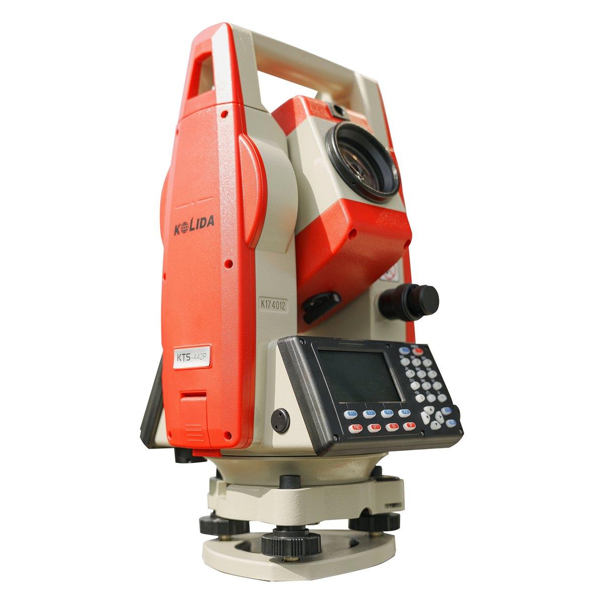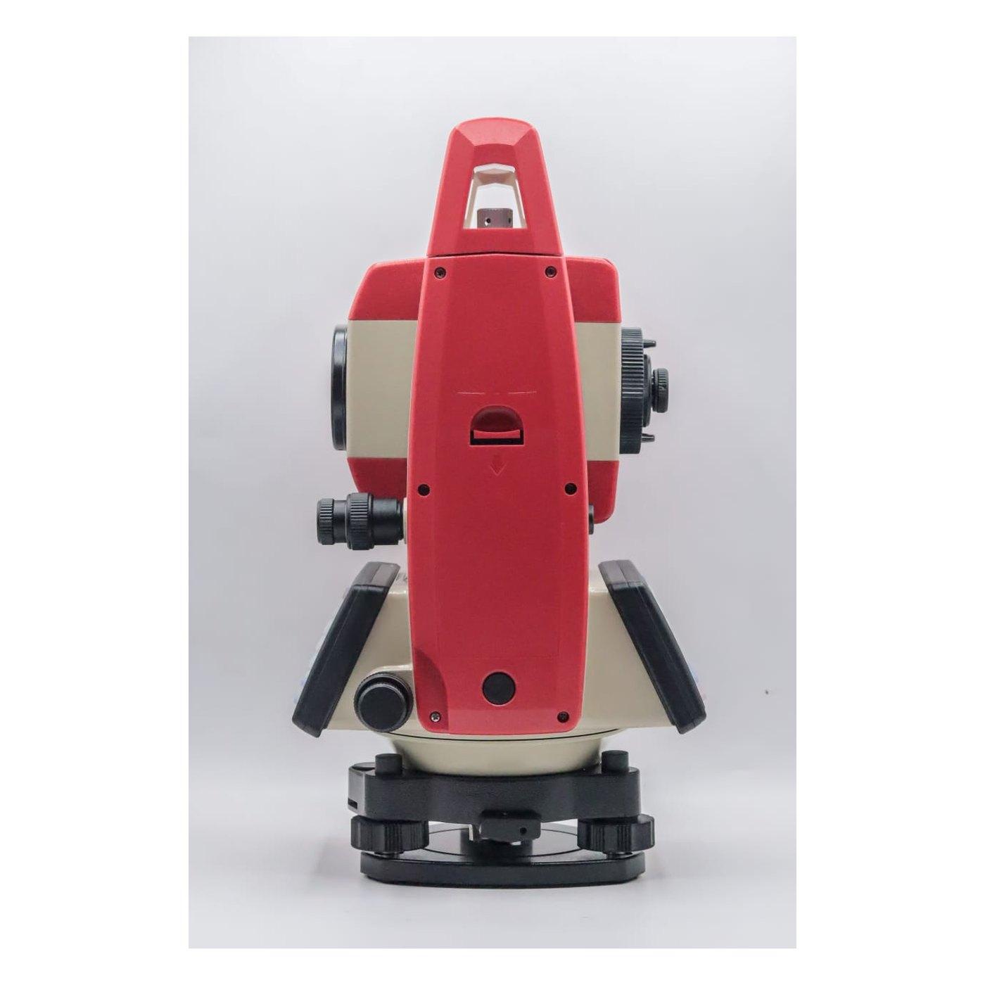
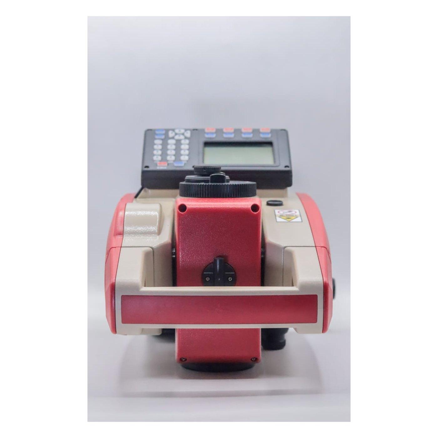
How to use a total station comes down to six steps: centre over the mark with the laser plummet, level, measure instrument height, set the station, take a backsight, then survey or stake out. A careful crew places points to 2 to 3 mm within 200 metres. Setup takes about 5 minutes once practised.
Every new instrument we sell from Rawalpindi leaves with operator training, and most of the phone calls in the first month are about the same few steps. This guide follows the order a crew actually works in on a Pakistani site, with the mistakes we see when instruments come back to our bench "out of calibration" that turn out to be setup errors.
How does a total station work?
A total station combines a digital theodolite with electronic distance measurement, or EDM. It measures a horizontal angle, a vertical angle and a slope distance to a prism or, in reflectorless mode, to a surface. From those three numbers, plus the instrument height and the prism height, it computes the easting, northing and height of the point.
Everything depends on two things being right: where the instrument stands, and which direction it is facing. Setup fixes the first; the backsight fixes the second. Get either wrong and every point of the day is wrong by the same amount, which is why it does not show up until somebody checks against an independent point.
Total station setup: centring and levelling
1. Set the tripod
Open the legs to roughly chest height, with the head roughly level and roughly over the mark. Push each leg firmly into the ground with your foot. On fresh fill or a hot bitumen surface, push harder; legs that sink slowly through the morning are the commonest cause of a drifting backsight.
2. Mount the instrument and switch on the laser plummet
Fix the instrument to the tripod head with the central screw, not fully tight. Switch on and turn on the laser plummet. Use the three footscrews to put the red dot exactly on the mark. In bright Pakistani sun the dot is hard to see on concrete; shade the mark with your hand or a clipboard.
3. Level roughly with the legs
Centre the circular bubble by lengthening or shortening the tripod legs, not with the footscrews. Changing a leg length moves the instrument along an arc around the mark, so the dot stays close.
4. Level precisely with the electronic bubble
Open the electronic level screen and bring both axes to zero with the footscrews. The KTS-442P and Sokkia iM both have dual-axis compensators, which correct small residual tilts, but they still need to start within a few minutes of arc.
5. Re-centre and repeat
Levelling moves the dot slightly off the mark. Loosen the central screw, slide the instrument on the tripod head to bring the dot back, without rotating it, and tighten. Check the level again. Two or three rounds is normal.
6. Measure instrument height
Tape from the mark to the height mark on the side of the instrument. Measure twice, write it down, and enter it. For coordinates in plan only it does not matter; for heights it matters on every point.
Station setup, backsight and resection
Known station and backsight
Create or open a job, then enter or select the coordinates of the station you are standing on. Enter or select the backsight point. Sight the prism on the backsight, focus, and fix the bearing. Then measure the distance to the backsight anyway. The instrument will compare it with the distance computed from the coordinates.
Check every backsight with a measured distance and a third known point before you stake anything. If the backsight distance disagrees by more than about 5 mm, stop: either a coordinate is mistyped, the wrong peg is being used, or the prism constant is wrong. We would estimate that more than half of the "calibration" complaints that reach our bench are one of those three.
Resection, or free station
When there is no known mark where you need to stand, set up anywhere with a clear view of two or more control points. Measure to each, and the instrument computes its own position. Use three points where you can, spread around you rather than in a line, and look at the residuals. On a building site anything above about 5 mm means a bad control point or a bad measurement.
Resection is the method of choice in Pakistani city work: on a tight plot in Saddar or Blue Area, the control pegs are often buried by the first week of excavation, but points on neighbouring walls stay visible.
How to use a total station for surveying and stake-out
Survey, or data collection
Set the prism height on the pole and enter it. Hold the pole plumb using its circular bubble, sight, and measure. Give each point a code that your office software understands: TB for top of bank, EP for edge of pavement, and so on. Agree codes with the draughtsman before the job, not after.
For reflectorless shots to walls and buildings, switch the EDM mode deliberately and switch it back. A reflectorless reading taken to a prism, or a prism reading taken to a wall, gives a distance that is wrong by the prism constant, typically 30 mm.
Stake-out
Load the design points, or enter them by hand. Select a point, and the instrument shows the angle to turn and the distance to go. Turn to zero, direct the pole holder left or right onto the line, measure, and read in or out. Repeat until both differences are under your tolerance, then drive the peg and mark it. Check every tenth point against an independent measurement from a different setup.
Road and canal work uses alignment programs: enter the centreline, chainage and offsets, and stake by chainage. Android instruments such as the KTS-591 let you pick points from a DXF on screen.
Data export
Export at the end of every day, not at the end of the job. Use the USB port or, on Android models, WiFi or Bluetooth to a phone. Export to CSV or the format your software reads, and keep the raw file. A full memory and a flat battery on the same afternoon has cost more than one crew a day of work.
Common field mistakes
| Mistake | What it causes | Typical size of error |
|---|---|---|
| Wrong prism constant (0 vs minus 30 mm) | Every distance short or long | About 30 mm |
| Prism height not updated after changing pole length | Wrong heights | Size of the change, often 300 to 500 mm |
| Instrument height not measured | Wrong heights all day | Whatever was guessed |
| Tripod legs sinking in soft fill | Backsight drifts | 5 to 20 mm by afternoon |
| Pole not held plumb | Wrong plan position | About 35 mm per degree at 2 m height |
| Instrument taken out of a hot car and used at once | Drifting angles and level | Several seconds |
| No check point after setup | Undetected gross errors | Any size |
Two Pakistani specifics. In summer, give the instrument time to reach air temperature before you level it, roughly two minutes for each degree of difference between the vehicle and the site. During the monsoon, never pack a wet instrument into its closed case overnight; leave the case open indoors so the moisture can escape, or the optics fog.
Instruments that drop or ride loose in a pickup on rough roads lose adjustment. If checks stop agreeing, read our total station calibration guide before blaming the operator.
What we supply
Every total station we sell under total stations leaves with training and a bench check sheet:
- Kolida KTS-442P: the standard site instrument, PKR 500,000 complete set.
- Kolida KTS-591 Android: touchscreen stake-out from DXF.
- Sokkia iM series: authorised Sokkia supply.
- Accessories under tools and accessories: aluminium survey tripod, single prism with tribrach, prism pole and mini prism and spare KB-20C batteries.
For prices see total station price in Pakistan. To choose a brand, read Sokkia vs Kolida total station.
Ask for today's price
If you are buying your first total station, tell us what the crew will do with it and we will set up the instrument for that work before it leaves us. Send us a WhatsApp for today's price, stock and delivery to your city.
What we supply
Equipment covered in this guide
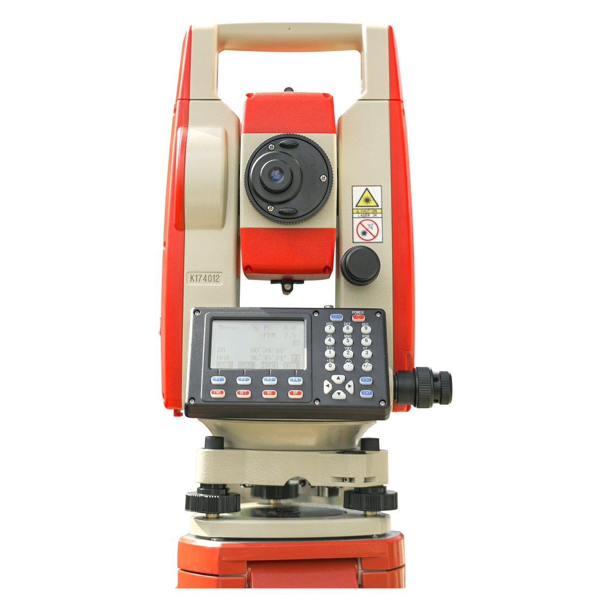 KolidaKTS-442P
Kolida KTS-442P Total Station
The workhorse of our survey counter. Reflectorless measurement, a rugged field build and a hard carry case that survives the back of a pickup.
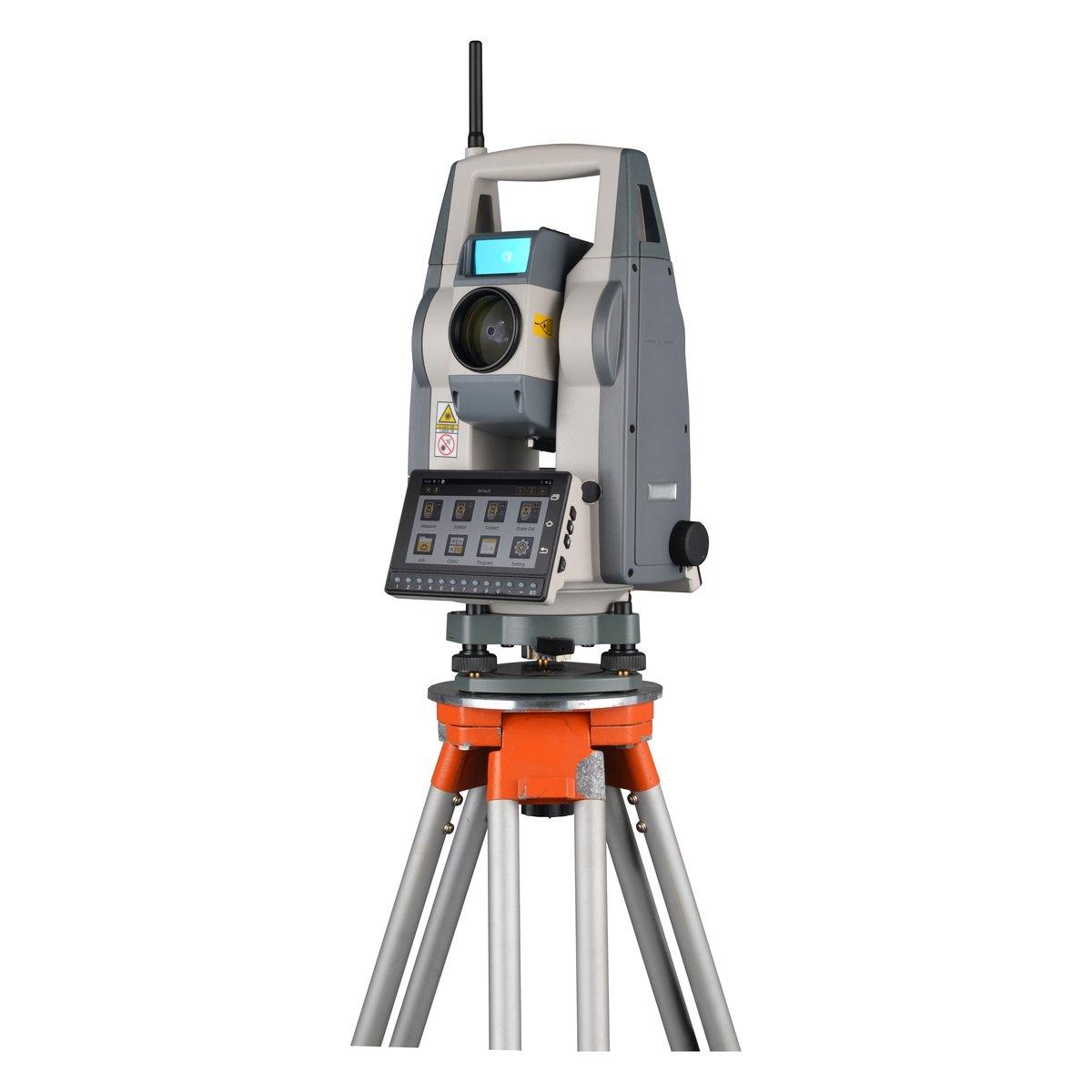 KolidaKTS-591
Kolida KTS-591 Android Total Station
A total station with an Android touch screen on the front and a keypad underneath it. Everything the 442P does, with survey software running on the instrument instead of a separate controller.
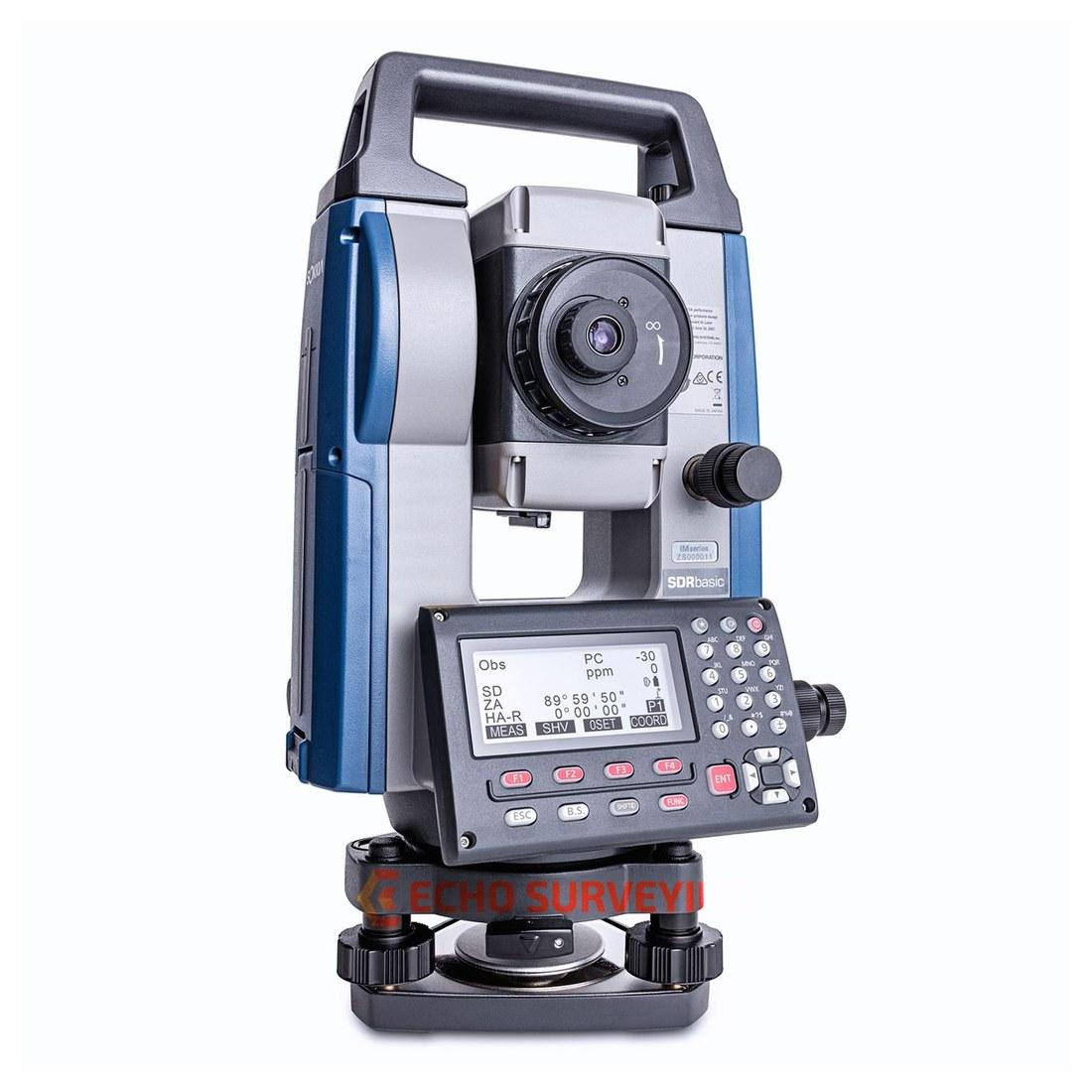 SokkiaiM-50 / iM-52 / iM-55 / iM-60 / iM-100 series
Sokkia iM Series Total Station
Japanese optics and angle measurement for control work where the tolerance is not negotiable. The iM-50, iM-55 and iM-100 series, supplied with training and calibration.
FAQ
Questions buyers ask us
How do you set up a total station?
Set the tripod roughly level over the mark, mount the instrument, switch on the laser plummet and put the dot on the mark with the footscrews. Centre the circular bubble with the tripod legs, level precisely with the electronic bubble, then slide the instrument on the tripod head to re-centre. Repeat until both hold, usually 2 or 3 rounds.
How long does it take to learn a total station?
A site foreman can learn setup, backsight and simple stake-out in 2 or 3 days of practice. Working confidently with resection, road alignments and data export usually takes 1 to 2 weeks on real jobs. We give operator training with every new instrument, and most crews call us 2 or 3 times in the first month.
What is a backsight on a total station?
A backsight is a sight to a second known point that fixes the instrument's direction. You enter the coordinates of the station and the backsight point, sight the prism on the backsight, and the instrument sets its horizontal circle to the correct bearing. Always measure the backsight distance; it should agree within about 5 mm.
How accurate is a total station?
A 2 second instrument such as the Kolida KTS-442P measures angles to 2 seconds and distances to a prism to about 2 mm plus 2 parts per million. In practice a careful crew places points to 2 to 3 mm within 200 metres. Errors from setup, prism height and the prism constant are usually larger than the instrument's own error.
What is resection on a total station?
Resection, or free station, computes the instrument's position from measurements to 2 or more known points, so you can set up anywhere with a clear view instead of over a mark. Use at least 3 points if possible, and check the residuals: on a building site they should be under about 5 mm.
How much does a total station cost in Pakistan?
The Kolida KTS-442P complete set is PKR 500,000 from us, confirmed in August 2026. In the 2026 market a Sokkia iM series runs about PKR 950,000 to 1,125,000 and used units PKR 285,000 to 400,000. Confirm today's price on WhatsApp, rates move with the exchange rate.